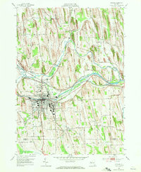
1952 Map of Newark
USGS Topo · Published 1971About this map
Newark serves as the focal point of this Wayne County landscape, situated at a critical junction of mid-century transportation and state institutions. The village's growth is clearly defined by the Erie Canal and the New York Central Railroad, which run parallel through the heart of the settlement. To the south, the sprawling grounds of the Newark State School represent a significant land use, while nearby industrial and civic markers like the sewage disposal plant and Newark Country Club reflect the community's mid-century expansion. The surrounding township of Arcadia is dotted with smaller settlements like Fairville and Marbletown, connected by a network of rural routes including Military Rd and Lincoln Rd. The presence of several burial grounds, such as Lyons Rural Cem and the Old House Cem, provides important touchstones for local genealogical research in this historic corridor.
Find a feature on this map
51 named features on this map. Tap any name to fly to it.
Don’t see what you’re looking for? This feature index may not catch every label — zoom into the map to look around manually.
Map Details
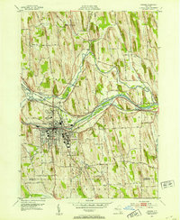
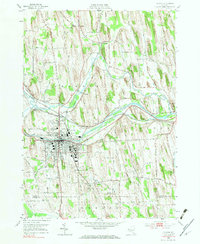
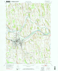
Editions of this 1952 Newark Map
4 editions found
Other maps of this area

1899 · Palmyra
USGS Topo · 1:62,500

1902 · Geneva
USGS Topo · 1:62,500

1902 · Clyde
USGS Topo · 1:62,500

1902 · Phelps
USGS Topo · 1:62,500

1902 · Palmyra
USGS Topo · 1:62,500

1943 · Lyons
USGS Topo · 1:31,680

1943 · Geneva North
USGS Topo · 1:31,680

1943 · Phelps
USGS Topo · 1:31,680

1943 · Williamson
USGS Topo · 1:31,680

1943 · Sodus
USGS Topo · 1:31,680