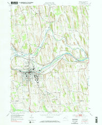
1952 Map of Newark
USGS Topo · Published 1971About this map
Newark serves as the industrial and social hub of this mid-century Wayne County landscape, where the Erie Canal and the New York Central Railroad run in parallel through the center of town. The presence of the expansive Newark State School campus and the Rose Gardens south of the canal reflect the community's institutional and local character during the early 1950s. Surrounding the urban center, the terrain is defined by the winding paths of Ganargua Creek and Mud Creek, which supported early milling sites like Mud Mills.
Find a feature on this map
81 named features on this map. Tap any name to fly to it.
Don’t see what you’re looking for? This feature index may not catch every label — zoom into the map to look around manually.
Map Details
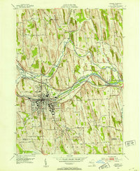
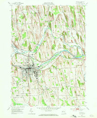
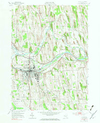
Editions of this 1952 Newark Map
4 editions found
Other maps of this area

1899 · Palmyra
USGS Topo · 1:62,500

1902 · Geneva
USGS Topo · 1:62,500

1902 · Clyde
USGS Topo · 1:62,500

1902 · Phelps
USGS Topo · 1:62,500

1902 · Palmyra
USGS Topo · 1:62,500

1943 · Lyons
USGS Topo · 1:31,680

1943 · Geneva North
USGS Topo · 1:31,680

1943 · Phelps
USGS Topo · 1:31,680

1943 · Williamson
USGS Topo · 1:31,680

1943 · Sodus
USGS Topo · 1:31,680