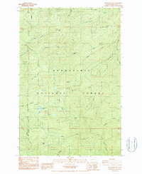
1987 Map of Newaukum Lake
USGS Topo · Published 1987About this map
Snoqualmie National Forest dominates this landscape, where the headwaters of several major regional river systems converge. The 1980s terrain is defined by high peaks like Bald Mtn, Huckleberry Mtn, and Lookout Peak, which separate the drainages of the Skookumchuck River to the west and the West Fork Deschutes River to the east. A notable hydrological feature is Newaukum Lake, feeding the Newaukum River South Fork. The map documents a working forest environment, marked by numerous Borrow Pits and a network of 4wd tracks that provide access for resource management and recreation. The southern extent descends toward Bear Canyon and the North Fork Tilton River, illustrating the complex drainage patterns of the Cascades before the more modern developments of the late 20th century. This survey provides a precise record of timber-access roads and natural landmarks like Rooster Rock at a time when industrial forestry and wilderness preservation intersected.
Find a feature on this map
29 named features on this map. Tap any name to fly to it.
Don’t see what you’re looking for? This feature index may not catch every label — zoom into the map to look around manually.
Map Details
Editions of this 1987 Newaukum Lake Map
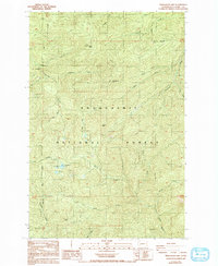
2 editions found
Other maps of this area

1916 · Chehalis
USGS Topo · 1:125,000

1937 · Eatonville
USGS Topo · 1:125,000

1941 · Tanwax Lake
USGS Topo · 1:62,500

1943 · Willapa
USGS Topo · 1:62,500

1944 · Yelm
USGS Topo · 1:62,500

1944 · Ohop Valley
USGS Topo · 1:62,500

1949 · Ohop Valley
USGS Topo · 1:62,500

1949 · Yelm
USGS Topo · 1:62,500

1953 · Hoquiam
USGS Topo · 1:250,000

1954 · Onalaska
USGS Topo · 1:62,500