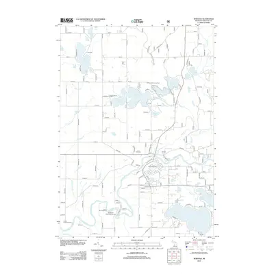
2012 Map of Newaygo
USGS Topo · Published 2012About this map
The Muskegon River meanders through this portion of Newaygo County, anchoring a landscape defined by its glacial lakes and riverine topography. The city of Newaygo sits at a strategic bend in the river, where infrastructure like the Newaygo Airport and the Newaygo City Cem serve the local community. To the north and south, large bodies of water such as Hess Lake, Pickerel Lake, and Ryerson Lake characterize the region's recreational appeal, supported by sites like Camp Echo and the Salmon Run Campground.
Find a feature on this map
147 named features on this map. Tap any name to fly to it.
Don’t see what you’re looking for? This feature index may not catch every label — zoom into the map to look around manually.
Map Details
Editions of this 2012 Newaygo Map
This is the sole edition of this map. No revisions or reprints were ever made.
Other maps of this area

1954 · Midland
USGS Topo · 1:250,000

1958 · Midland
USGS Topo · 1:250,000

1958 · Sand Lake
USGS Topo · 1:62,500

1958 · Fremont
USGS Topo · 1:62,500

1958 · Woodville
USGS Topo · 1:62,500

1959 · Midland
USGS Topo · 1:250,000

1959 · White Cloud
USGS Topo · 1:62,500

1966 · Midland
USGS Topo · 1:250,000
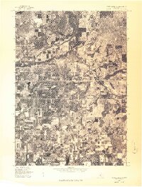
1976 · White Cloud SW
USGS Topo · 1:24,000

1976 · White Cloud SE
USGS Topo · 1:24,000