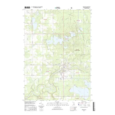
2017 Map of Newaygo
USGS Topo · Published 2017About this map
The Muskegon River winds through the heart of this West Michigan landscape, anchoring the city of Newaygo. The terrain is defined by a dense network of glacial lakes and drainage systems, including large water bodies like Hess Lake, Pickerel Lake, and Ryerson Lake. The map reveals the intricate intersection of municipal growth and the surrounding Manistee National Forest, where conservation boundaries meet residential developments. Local history and genealogy can be traced through the Newaygo City Cem and Saint Marks Cem, while the local hydrology is marked by numerous named drains and creeks such as Brooks Cr and Penoyer Cr. The grid of county roads and residential streets around the lakes shows a well-established community deeply integrated with its riverine and woodland environment.
Find a feature on this map
80 named features on this map. Tap any name to fly to it.
Don’t see what you’re looking for? This feature index may not catch every label — zoom into the map to look around manually.
Map Details
Editions of this 2017 Newaygo Map
This is the sole edition of this map. No revisions or reprints were ever made.
Other maps of this area

1954 · Midland
USGS Topo · 1:250,000

1958 · Midland
USGS Topo · 1:250,000

1958 · Sand Lake
USGS Topo · 1:62,500

1958 · Fremont
USGS Topo · 1:62,500

1958 · Woodville
USGS Topo · 1:62,500

1959 · Midland
USGS Topo · 1:250,000

1959 · White Cloud
USGS Topo · 1:62,500

1966 · Midland
USGS Topo · 1:250,000
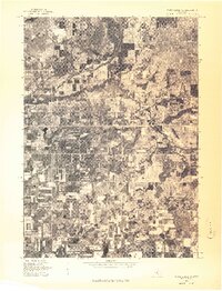
1976 · White Cloud SW
USGS Topo · 1:24,000

1976 · White Cloud SE
USGS Topo · 1:24,000