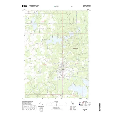
2019 Map of Newaygo
USGS Topo · Published 2019About this map
The Muskegon River meanders through the heart of this West Michigan landscape, carving a wide valley that defines the layout of Newaygo. The town serves as a focal point for a region characterized by a dense concentration of glacial lakes, including the large waters of Hess Lake and the interconnected chain of Pickerel Lake, Kimball Lake, and Emerald Lake. To the north and east, the protected lands of the Manistee National Forest dominate the terrain, preserving a wooded environment that contrasts with the residential development concentrated around the lake shorelines and the riverbanks.
Find a feature on this map
126 named features on this map. Tap any name to fly to it.
Don’t see what you’re looking for? This feature index may not catch every label — zoom into the map to look around manually.
Map Details
Editions of this 2019 Newaygo Map
This is the sole edition of this map. No revisions or reprints were ever made.
Other maps of this area

1954 · Midland
USGS Topo · 1:250,000

1958 · Midland
USGS Topo · 1:250,000

1958 · Sand Lake
USGS Topo · 1:62,500

1958 · Fremont
USGS Topo · 1:62,500

1958 · Woodville
USGS Topo · 1:62,500

1959 · Midland
USGS Topo · 1:250,000

1959 · White Cloud
USGS Topo · 1:62,500

1966 · Midland
USGS Topo · 1:250,000
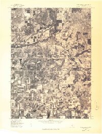
1976 · White Cloud SW
USGS Topo · 1:24,000

1976 · White Cloud SE
USGS Topo · 1:24,000