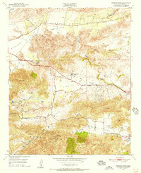
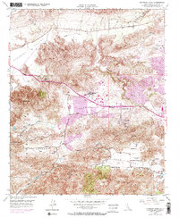
1950 Map of Newbury Park
USGS Topo · Published 1956About this map
Conejo Valley sits at the heart of this mid-century landscape, defined by a network of seasonal watercourses and evolving settlements. The topographical survey captures the area just before the major suburban expansion of the 1960s, showing a mix of established education at Newbury Park Academy and local primary institutions like Timber Sch. Transportation is anchored by Ventura Blvd, while aviation history is marked by the presence of Conejo Valley Airport and a hilltop Airway Beacon.
Find a feature on this map
35 named features on this map. Tap any name to fly to it.
Don’t see what you’re looking for? This feature index may not catch every label — zoom into the map to look around manually.
Map Details
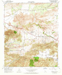
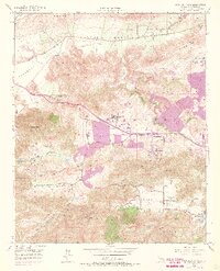
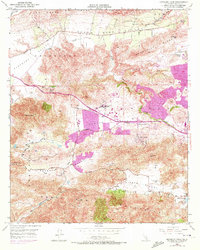
Editions of this 1950 Newbury Park Map
5 editions found
Other maps of this area

1900 · Triunfo Pass
USGS Topo · 1:62,500

1900 · Piru
USGS Topo · 1:62,500

1903 · Santa Paula
USGS Topo · 1:62,500

1903 · Camulos
USGS Topo · 1:125,000

1904 · Hueneme
USGS Topo · 1:62,500

1921 · Piru
USGS Topo · 1:62,500

1921 · Triunfo Pass
USGS Topo · 1:62,500

1932 · Russell Valley
USGS Topo · 1:24,000

1941 · Piru
USGS Topo · 1:62,500

1942 · Santa Paula
USGS Topo · 1:62,500