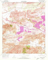
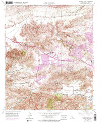
1950 Map of Newbury Park
USGS Topo · Published 1972About this map
The Conejo Valley serves as the central corridor of this mid-century survey, illustrating the early stages of suburban expansion in southern Ventura County. Major development is concentrated around Newbury Park and the adjacent Ven-tu Park, with 1960s-era updates shown in purple highlighting the growth of residential and commercial districts. Education and community life are anchored by the Newbury Park Academy and the historic Timber Sch, while the northern landscape is dominated by the agricultural stretches of the Santa Rosa Valley and the Las Posas Hills.
Find a feature on this map
38 named features on this map. Tap any name to fly to it.
Don’t see what you’re looking for? This feature index may not catch every label — zoom into the map to look around manually.
Map Details
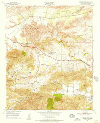
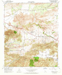
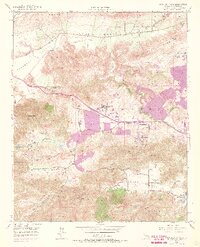
Editions of this 1950 Newbury Park Map
5 editions found
Other maps of this area

1900 · Triunfo Pass
USGS Topo · 1:62,500

1900 · Piru
USGS Topo · 1:62,500

1903 · Santa Paula
USGS Topo · 1:62,500

1903 · Camulos
USGS Topo · 1:125,000

1904 · Hueneme
USGS Topo · 1:62,500

1921 · Piru
USGS Topo · 1:62,500

1921 · Triunfo Pass
USGS Topo · 1:62,500

1932 · Russell Valley
USGS Topo · 1:24,000

1941 · Piru
USGS Topo · 1:62,500

1942 · Santa Paula
USGS Topo · 1:62,500