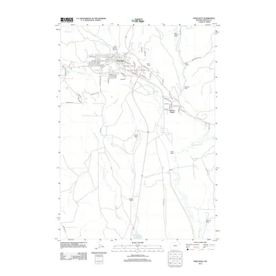
2012 Map of Newcastle
USGS Topo · Published 2012About this map
Newcastle serves as the focal point of this 2012 survey, situated at the intersection of several notable geographic draws and watercourses. The town's grid extends toward Greenwood Cem and is defined by streets such as S Summit Ave and W Cambria St. Southeast of the primary settlement lies Hill View Heights, a distinct residential development overlooking the drainage of Salt Cr.
Find a feature on this map
69 named features on this map. Tap any name to fly to it.
Don’t see what you’re looking for? This feature index may not catch every label — zoom into the map to look around manually.
Map Details
Editions of this 2012 Newcastle Map
This is the sole edition of this map. No revisions or reprints were ever made.
Other maps of this area

1899 · Newcastle
USGS Topo · 1:125,000

1901 · Newcastle
USGS Topo · 1:125,000

1951 · Owens
USGS Topo · 1:24,000

1951 · Newcastle
USGS Topo · 1:24,000

1951 · Morrisey NE
USGS Topo · 1:24,000

1951 · Fanny Peak
USGS Topo · 1:24,000

1951 · Osage SE
USGS Topo · 1:24,000

1951 · Clifton
USGS Topo · 1:24,000

1955 · Newcastle
USGS Topo · 1:250,000

1958 · Newcastle
USGS Topo · 1:250,000