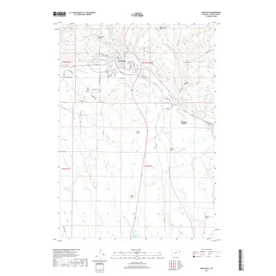
2017 Map of Newcastle
USGS Topo · Published 2017About this map
Newcastle sits at the northern edge of this Weston County terrain, where the streets of the town give way to a network of drainage draws and seasonal creeks. The landscape is defined by its water-carved geography, with Cave Spring Canyon and Buck Pasture Draw cutting through the uplands while Cambria Cr and Little Oil Cr meet near the town center. Local history is anchored by the presence of Greenwood Cem and Old Ridge Cem, serving as quiet markers of the community's multi-generational growth.
Find a feature on this map
64 named features on this map. Tap any name to fly to it.
Don’t see what you’re looking for? This feature index may not catch every label — zoom into the map to look around manually.
Map Details
Editions of this 2017 Newcastle Map
This is the sole edition of this map. No revisions or reprints were ever made.
Other maps of this area

1899 · Newcastle
USGS Topo · 1:125,000

1901 · Newcastle
USGS Topo · 1:125,000

1951 · Owens
USGS Topo · 1:24,000

1951 · Newcastle
USGS Topo · 1:24,000

1951 · Morrisey NE
USGS Topo · 1:24,000

1951 · Fanny Peak
USGS Topo · 1:24,000

1951 · Osage SE
USGS Topo · 1:24,000

1951 · Clifton
USGS Topo · 1:24,000

1955 · Newcastle
USGS Topo · 1:250,000

1958 · Newcastle
USGS Topo · 1:250,000