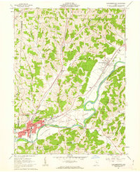
1961 Map of Newcomerstown
USGS Topo · Published 1963About this map
The Tuscarawas River carves a deep valley through the hills of Tuscarawas County, dictating the development of the river-bottom corridor. In the early 1960s, Newcomerstown serves as a significant regional hub, anchored by its proximity to the Pennsylvania railroad and the Cy Young Memorial Park. The landscape is a complex mix of industrial history and rural topography, where the old Canal (Abandoned) runs parallel to the river near Port Washington.
Find a feature on this map
50 named features on this map. Tap any name to fly to it.
Don’t see what you’re looking for? This feature index may not catch every label — zoom into the map to look around manually.
Map Details
Editions of this 1961 Newcomerstown Map
2 editions found
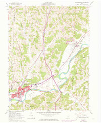
Other maps of this area

1909 · Antrim
USGS Topo · 1:48,000

1909 · Uhrichsville
USGS Topo · 1:62,500

1909 · Cambridge
USGS Topo · 1:62,500

1911 · Antrim
USGS Topo · 1:62,500

1911 · Uhrichsville
USGS Topo · 1:62,500

1911 · Newcomerstown
USGS Topo · 1:62,500

1912 · Cambridge
USGS Topo · 1:62,500

1913 · Newcomerstown
USGS Topo · 1:62,500

1943 · Newcomerstown
USGS Topo · 1:62,500

1951 · Canton
USGS Topo · 1:250,000