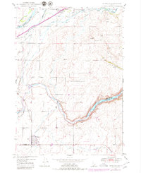
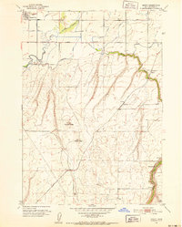
1949 Map of Newdale
USGS Topo · Published 1980About this map
The Union Pacific railroad and a sophisticated network of irrigation canals define this landscape at the border of Fremont and Madison counties. The settlements of Newdale and Chester anchor the northern and southern reaches of the sheet, connected by a transit-oriented economy dependent on the Henrys Fork and Fall River. Near the northern boundary, the Chester Cem sits just south of the falls where the river begins its series of canal diversions.
Find a feature on this map
25 named features on this map. Tap any name to fly to it.
Don’t see what you’re looking for? This feature index may not catch every label — zoom into the map to look around manually.
Map Details
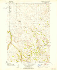
Editions of this 1949 Newdale Map
2 editions found
Other maps of this area
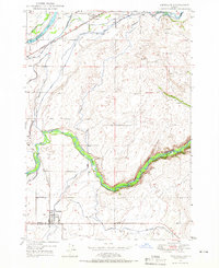
1949 · Newdale
USGS Topo · 1:24,000
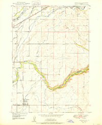
1950 · Newdale
USGS Topo · 1:24,000
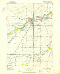
1950 · St Anthony
USGS Topo · 1:24,000
1951 · Moody
USGS Topo · 1:24,000
1951 · White Owl Butte
USGS Topo · 1:24,000

1955 · Ashton
USGS Topo · 1:250,000

1955 · Driggs
USGS Topo · 1:250,000

1958 · Driggs
USGS Topo · 1:250,000

1958 · Ashton
USGS Topo · 1:250,000

1960 · Ashton
USGS Topo · 1:250,000