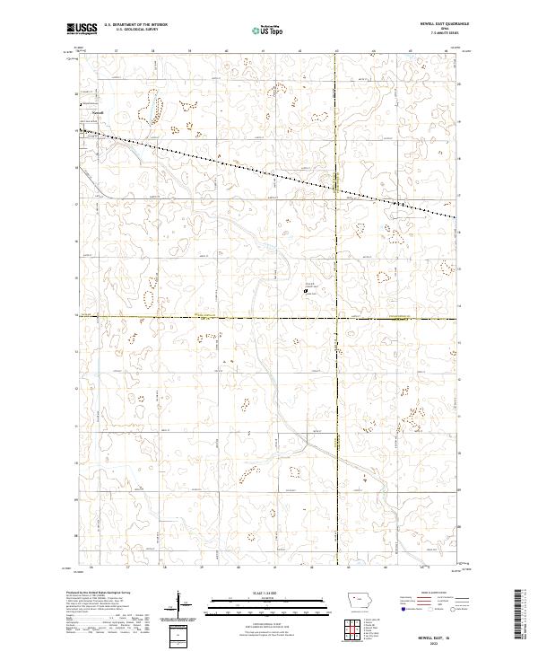
2022 Map of Newell East
USGS Topo · Published 2022About this map
Newell sits at the western edge of this agricultural landscape, where the flat plains are defined by a precise grid of rural routes like Co Hwy M54 and Voss Ave. The town's historical presence is anchored by the Newell Cem, while further east, the rural character is punctuated by smaller focal points of early community life, including the First M E Church and its adjacent Church Cem, along with the Cooke Cem.
Find a feature on this map
45 named features on this map. Tap any name to fly to it.
Don’t see what you’re looking for? This feature index may not catch every label — zoom into the map to look around manually.
Map Details
Editions of this 2022 Newell East Map
This is the sole edition of this map. No revisions or reprints were ever made.
Other maps of this area

1954 · Fort Dodge
USGS Topo · 1:250,000

1957 · Fort Dodge
USGS Topo · 1:250,000

1958 · Fort Dodge
USGS Topo · 1:250,000

1979 · Varina
USGS Topo · 1:24,000

1979 · Fonda
USGS Topo · 1:24,000

1979 · Newell West
USGS Topo · 1:24,000

1979 · Storm Lake NE
USGS Topo · 1:24,000

1979 · Newell East
USGS Topo · 1:24,000

1979 · Fonda NE
USGS Topo · 1:24,000

1980 · Lytton
USGS Topo · 1:24,000