2024 Map of Newell
USGS Topo · Published 2024About this map
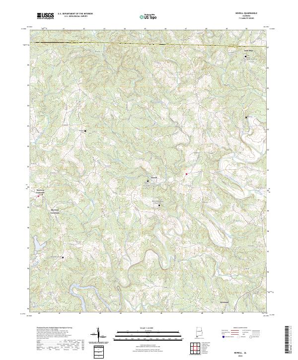
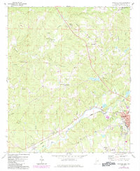
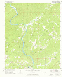
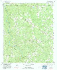
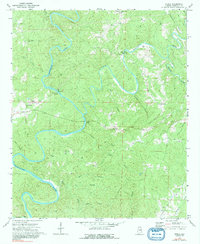
Newell sits at the heart of this Randolph County landscape, where the Little Tallapoosa River and its numerous tributaries like Cohobadiah Creek and Cane Creek wind through the hills. This 2024 map documents a rural environment defined by its longstanding community institutions, particularly its country churches and family burial grounds. Local genealogists will find significant value in the distribution of sites such as the Antioch Baptist Church Cem and the Old Cool Spring Cem. The settlement pattern follows the ridgelines and creek valleys, with small clusters of homes at Gold Ridge and Morrison Crossroads connected by an intricate network of county roads. Further south, the town of Woodland marks a more concentrated area of development, while the northern border captures the transition from Cleburne into Randolph County.
Find a feature on this map
114 named features on this map. Tap any name to fly to it.
Don’t see what you’re looking for? This feature index may not catch every label — zoom into the map to look around manually.
Map Details
Editions of this 2024 Newell Map
This is the sole edition of this map. No revisions or reprints were ever made.
Historical Maps of Pine Hill Through Time
16 maps found
1969 Napoleon
Randolph County, AL
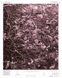
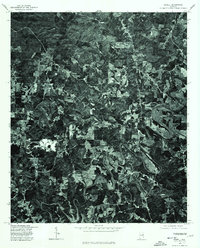
1969 Newell
Randolph County, AL
1969 Roanoke East
Randolph County, AL
1969 Roanoke West
Randolph County, AL
1969 Wadley North
Randolph County, AL
1970 Micaville
Randolph County, AL
1970 Ofelia
Randolph County, AL
1975 Micaville
Randolph County, AL
1975 Newell
Randolph County, AL
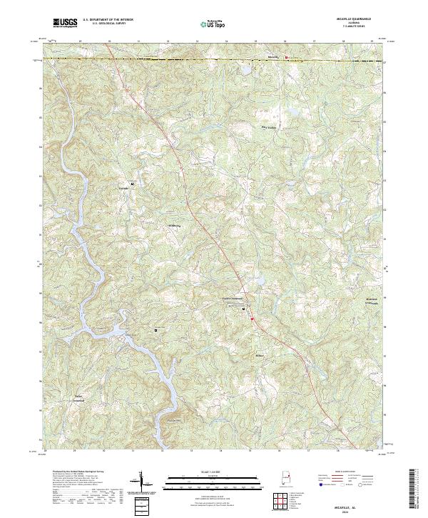
2024 Micaville
Randolph County, AL
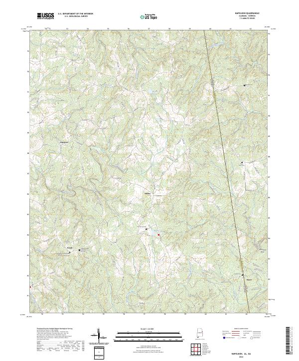
2024 Napoleon
Randolph County, AL
2024 Newell
Randolph County, AL
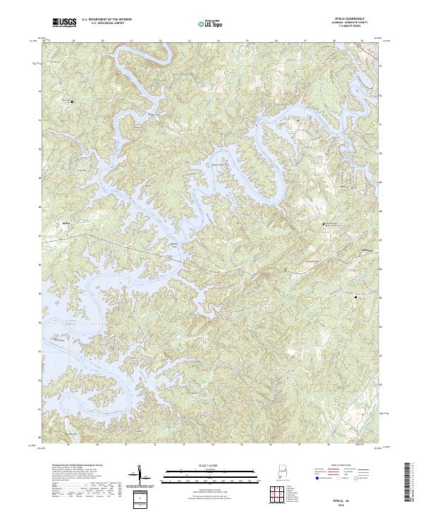
2024 Ofelia
Randolph County, AL
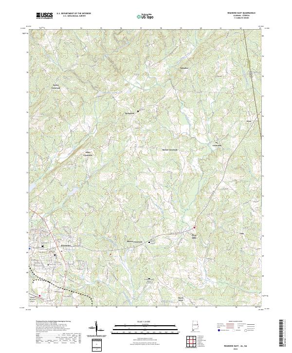
2024 Roanoke East
Randolph County, AL
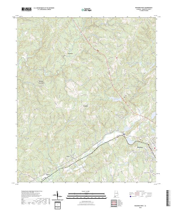
2024 Roanoke West
Randolph County, AL
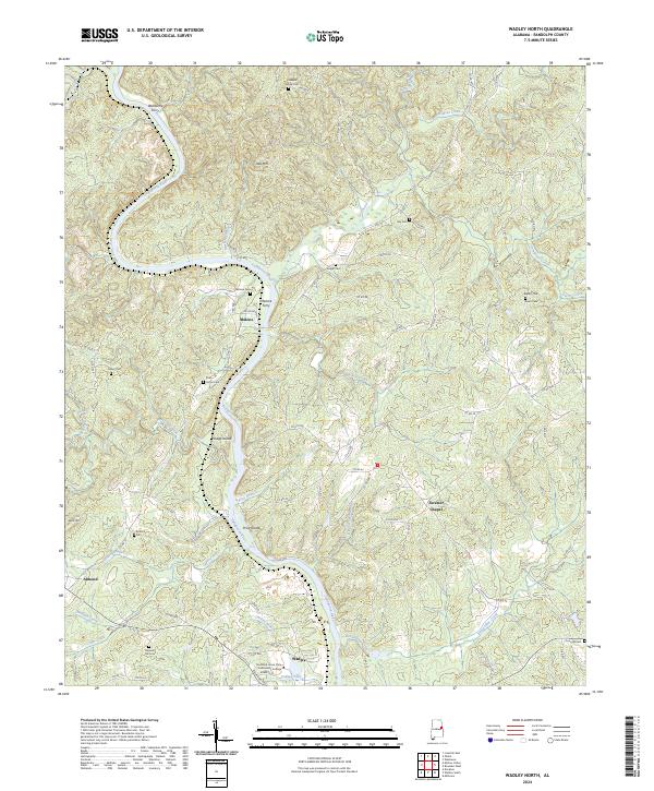
2024 Wadley North
Randolph County, AL