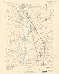
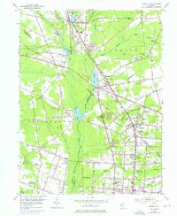
1953 Map of Newfield
USGS Topo · Published 1954About this map
The Pennsylvania-Reading Seashore Lines define the transportation corridor of this South Jersey landscape, linking the boroughs and agricultural settlements of the early 1950s. The geography is characterized by the headwaters of the Maurice River and a series of artificial impoundments, including Franklinville Lake, Malaga Lake, and Willow Grove Lake, which supported local industry and recreation. At the intersection of Gloucester, Salem, and Cumberland counties, towns like Newfield and Franklinville show concentrated residential growth near the rails.
Find a feature on this map
73 named features on this map. Tap any name to fly to it.
Don’t see what you’re looking for? This feature index may not catch every label — zoom into the map to look around manually.
Map Details
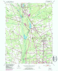
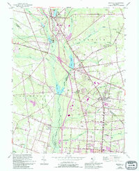
Editions of this 1953 Newfield Map
7 editions found
Other maps of this area

1890 · Hammonton
USGS Topo · 1:62,500

1890 · Tuckahoe
USGS Topo · 1:62,500

1890 · Bridgeton
USGS Topo · 1:62,500

1890 · Glassboro
USGS Topo · 1:62,500

1893 · Tuckahoe
USGS Topo · 1:62,500

1894 · Hammonton
USGS Topo · 1:62,500

1894 · Bridgeton
USGS Topo · 1:62,500

1898 · Glassboro
USGS Topo · 1:62,500

1898 · Hammonton
USGS Topo · 1:62,500

1899 · Vineland
USGS Topo · 1:125,000
Featured Places
- Vineland, NJ
- Newfield, NJ
- Pittsgrove Township, NJ
- Alliance, Pittsgrove Township
- Malaga, Franklin Township