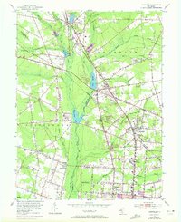
1953 Map of Newfield
USGS Topo · Published 1972About this map
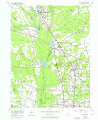
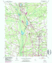
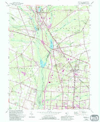
The Maurice River valley serves as the central axis for this South Jersey survey, where the convergence of Gloucester, Salem, and Cumberland counties defines a landscape of agricultural settlements and riparian corridors. Major water bodies like Willow Grove Lake and Iona Lake anchor the drainage systems of Still Run and Scotland Run. The 1972 revisions highlight the expanding urban footprint of Vineland and Newfield, particularly along the Pennsylvania-Reading Seashore Line. Local history is deeply embedded in the rural nodes of Brotmanville and Alliance, where the Alliance Cem and Friendship Ch provide important genealogical touchstones. The transportation network is dominated by the Harding Highway and numerous secondary roads like Almond Road, reflecting a transition from purely rail-based commerce to a modern highway-centric layout.
Find a feature on this map
76 named features on this map. Tap any name to fly to it.
Don’t see what you’re looking for? This feature index may not catch every label — zoom into the map to look around manually.
Map Details
Editions of this 1953 Newfield Map
7 editions found
Other maps of this area

1890 · Hammonton
USGS Topo · 1:62,500

1890 · Tuckahoe
USGS Topo · 1:62,500

1890 · Bridgeton
USGS Topo · 1:62,500

1890 · Glassboro
USGS Topo · 1:62,500

1893 · Tuckahoe
USGS Topo · 1:62,500

1894 · Hammonton
USGS Topo · 1:62,500

1894 · Bridgeton
USGS Topo · 1:62,500

1898 · Glassboro
USGS Topo · 1:62,500

1898 · Hammonton
USGS Topo · 1:62,500

1899 · Vineland
USGS Topo · 1:125,000
Featured Places
- Vineland, NJ
- Newfield, NJ
- Pittsgrove Township, NJ
- Alliance, Pittsgrove Township
- Malaga, Franklin Township