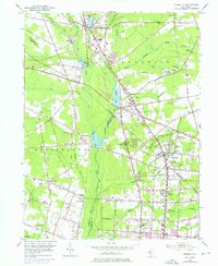
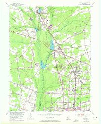
1953 Map of Newfield
USGS Topo · Published 1976About this map
The agricultural and industrial heritage of South Jersey centers on the Maurice River corridor, where a complex network of waterways like Still Run and Scotland Run feed into Iona Lake and Malaga Lake. This survey illustrates the dense settlement patterns of the mid-20th century, particularly the Jewish agricultural colonies of Brotmanville, Alliance, and Norma, which represent a unique chapter in the region’s immigration and labor history. The landscape is interconnected by the Pennsylvania-Reading Seashore Lines and the Central Railroad Of New Jersey, facilitating the movement of goods and people between rural outposts and growing centers like Vineland.
Find a feature on this map
73 named features on this map. Tap any name to fly to it.
Don’t see what you’re looking for? This feature index may not catch every label — zoom into the map to look around manually.
Map Details
Editions of this 1953 Newfield Map
7 editions found
Other maps of this area

1890 · Hammonton
USGS Topo · 1:62,500

1890 · Tuckahoe
USGS Topo · 1:62,500

1890 · Bridgeton
USGS Topo · 1:62,500

1890 · Glassboro
USGS Topo · 1:62,500

1893 · Tuckahoe
USGS Topo · 1:62,500

1894 · Hammonton
USGS Topo · 1:62,500

1894 · Bridgeton
USGS Topo · 1:62,500

1898 · Glassboro
USGS Topo · 1:62,500

1898 · Hammonton
USGS Topo · 1:62,500

1899 · Vineland
USGS Topo · 1:125,000
Featured Places
- Vineland, NJ
- Newfield, NJ
- Pittsgrove Township, NJ
- Alliance, Pittsgrove Township
- Malaga, Franklin Township