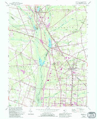
1953 Map of Newfield
USGS Topo · Published 1994About this map
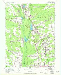
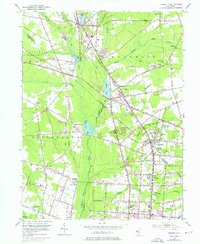
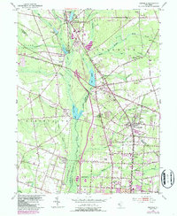
Newfield serves as a central hub in this Southern New Jersey landscape, situated where the Pennsylvania-Reading Seashore Lines intersect a network of county roads. The area's agricultural and rural character is defined by a series of small, interconnected settlements like Brotmanville, Alliance, and Malaga. Waterways such as Still Run, Scotland Run, and the Maurice River feed into numerous local basins, including Franklinville Lake and Malaga Lake. The 1953 survey captures a specific era of local aviation and industry, noting Rudys Airport and Kroelinger Airport alongside numerous gravel pits. These features, combined with scattered country churches like Zion Ch and St Marys Ch, reflect a mid-century community built around established rail corridors and the emerging Harding Highway. The 1994 revisions in purple highlight the residential expansion and modern suburban development creeping northward from Vineland.
Find a feature on this map
76 named features on this map. Tap any name to fly to it.
Don’t see what you’re looking for? This feature index may not catch every label — zoom into the map to look around manually.
Map Details
Editions of this 1953 Newfield Map
7 editions found
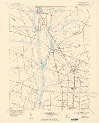
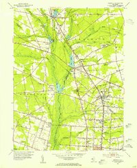
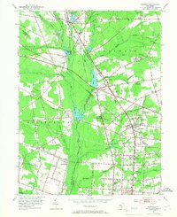
Other maps of this area

1890 · Hammonton
USGS Topo · 1:62,500

1890 · Tuckahoe
USGS Topo · 1:62,500

1890 · Bridgeton
USGS Topo · 1:62,500

1890 · Glassboro
USGS Topo · 1:62,500

1893 · Tuckahoe
USGS Topo · 1:62,500

1894 · Hammonton
USGS Topo · 1:62,500

1894 · Bridgeton
USGS Topo · 1:62,500

1898 · Glassboro
USGS Topo · 1:62,500

1898 · Hammonton
USGS Topo · 1:62,500

1899 · Vineland
USGS Topo · 1:125,000
Featured Places
- Vineland, NJ
- Newfield, NJ
- Pittsgrove Township, NJ
- Alliance, Pittsgrove Township
- Malaga, Franklin Township