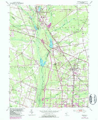
1953 Map of Newfield
USGS Topo · Published 1987About this map
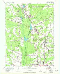
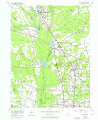
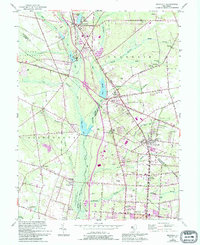
Newfield and the surrounding tri-county borderlands of Gloucester, Salem, and Cumberland counties are captured here at a time when agriculture and early aviation defined the landscape. This 1950s survey, with later 1980s updates, documents a transition from the historic settlements of Brotmanville and Alliance—both significant in the history of Jewish agricultural colonies—to the expanding footprint of Vineland. The Maurice River and its numerous tributaries, including Scotland Run and Little Ease Run, drain several impoundments such as Malaga Lake and Iona Lake. The presence of several private airfields, like Rudys Airport and Kroelinger Airport, alongside the Conrail lines, highlights the importance of multi-modal transit for this South Jersey region. Local history is deeply etched into the map through numerous small churches and cemeteries, such as Zion Ch and Rose Hill Cem, which anchor established communities like Franklinville and Malaga.
Find a feature on this map
76 named features on this map. Tap any name to fly to it.
Don’t see what you’re looking for? This feature index may not catch every label — zoom into the map to look around manually.
Map Details
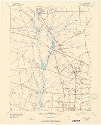
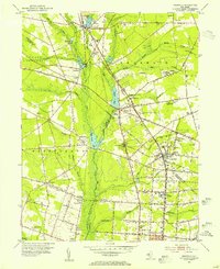
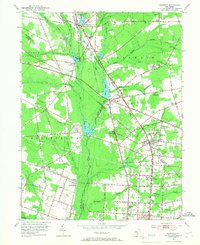
Editions of this 1953 Newfield Map
7 editions found
Other maps of this area

1890 · Hammonton
USGS Topo · 1:62,500

1890 · Tuckahoe
USGS Topo · 1:62,500

1890 · Bridgeton
USGS Topo · 1:62,500

1890 · Glassboro
USGS Topo · 1:62,500

1893 · Tuckahoe
USGS Topo · 1:62,500

1894 · Hammonton
USGS Topo · 1:62,500

1894 · Bridgeton
USGS Topo · 1:62,500

1898 · Glassboro
USGS Topo · 1:62,500

1898 · Hammonton
USGS Topo · 1:62,500

1899 · Vineland
USGS Topo · 1:125,000
Featured Places
- Vineland, NJ
- Newfield, NJ
- Pittsgrove Township, NJ
- Alliance, Pittsgrove Township
- Malaga, Franklin Township