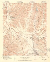
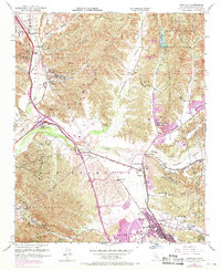
1952 Map of Newhall
USGS Topo · Published 1953About this map
The Santa Clara River valley serves as the central artery for this mid-century portrait of northern Los Angeles County, where the transition from cattle ranching to suburban expansion is visible in the landscape. Large land holdings like Newhall Ranch and the Wayside Honor Rancho dominate the valley floor, while the Southern Pacific railroad and the Golden State Highway provide the infrastructure for growth between Saugus and Newhall.
Find a feature on this map
46 named features on this map. Tap any name to fly to it.
Don’t see what you’re looking for? This feature index may not catch every label — zoom into the map to look around manually.
Map Details
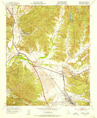
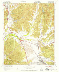
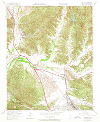
Editions of this 1952 Newhall Map
6 editions found
Other maps of this area

1900 · Fernando
USGS Topo · 1:62,500

1901 · Southern California Sheet No. 1
USGS Topo · 1:250,000

1903 · Tejon
USGS Topo · 1:125,000

1903 · Camulos
USGS Topo · 1:125,000

1903 · Santa Susana
USGS Topo · 1:62,500

1904 · Southern California Sheet No. 1
USGS Topo · 1:250,000

1915 · Elizabeth Lake
USGS Topo · 1:125,000

1917 · Elizabeth Lake
USGS Topo · 1:125,000

1925 · Sylmar
USGS Topo · 1:24,000

1928 · Sylmar
USGS Topo · 1:24,000
Featured Places
- Santa Clarita, CA
- Sulphur Springs, CA
- Pardee, Santa Clarita
- Rancho Santa Clarita, Santa Clarita
- Castaic, CA