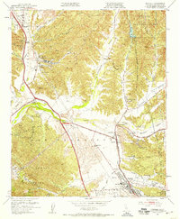
1952 Map of Newhall
USGS Topo · Published 1958About this map
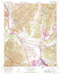
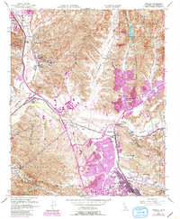
Wayside Honor Rancho sits prominently in the rolling hills north of the Santa Clara River, marking a period of institutional presence in this corner of Los Angeles County. The early 1950s landscape is defined by a network of ranching properties and developing rail hubs, where the Southern Pacific tracks converge near Bouquet Junction and Saugus. This era shows the transition from large land grants like Rancho San Francisco to more concentrated settlements like Castaic and Newhall. Significant topographical features such as the Dry Canyon Reservoir and the rugged edges of the Angeles National Forest provide a sharp contrast to the industrialized river valley, which is dotted with numerous oil wells and regional infrastructure like the Radio Range Station. Educational and community life is visible through the presence of the Saugus School and Hart School.
Find a feature on this map
53 named features on this map. Tap any name to fly to it.
Don’t see what you’re looking for? This feature index may not catch every label — zoom into the map to look around manually.
Map Details
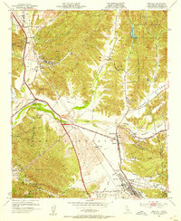
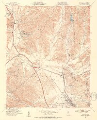
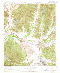
Editions of this 1952 Newhall Map
6 editions found
Other maps of this area

1900 · Fernando
USGS Topo · 1:62,500

1901 · Southern California Sheet No. 1
USGS Topo · 1:250,000

1903 · Tejon
USGS Topo · 1:125,000

1903 · Camulos
USGS Topo · 1:125,000

1903 · Santa Susana
USGS Topo · 1:62,500

1904 · Southern California Sheet No. 1
USGS Topo · 1:250,000

1915 · Elizabeth Lake
USGS Topo · 1:125,000

1917 · Elizabeth Lake
USGS Topo · 1:125,000

1925 · Sylmar
USGS Topo · 1:24,000

1928 · Sylmar
USGS Topo · 1:24,000
Featured Places
- Santa Clarita, CA
- Sulphur Springs, CA
- Pardee, Santa Clarita
- Rancho Santa Clarita, Santa Clarita
- Castaic, CA