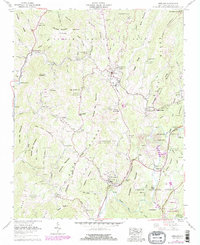
1960 Map of Newland
USGS Topo · Published 1979About this map
Newland serves as the focal point of this highland survey, positioned near the Tennessee Valley Divide within the Pisgah National Forest. The landscape is defined by the high ridges of Sugar Mountain and the Blue Ridge, where the headwaters of the North Toe River and Linville River originate. Settlement patterns follow the winding creek valleys, with communities like Montezuma, Pineola, and Crossnore connected by the early routes of State Highways 181 and 221.
Find a feature on this map
115 named features on this map. Tap any name to fly to it.
Don’t see what you’re looking for? This feature index may not catch every label — zoom into the map to look around manually.
Map Details
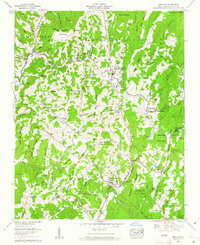
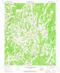
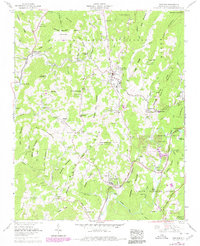
Editions of this 1960 Newland Map
4 editions found
Other maps of this area

1891 · Roan Mountain
USGS Topo · 1:125,000

1893 · Cranberry
USGS Topo · 1:125,000

1894 · Roan Mountain
USGS Topo · 1:125,000

1895 · Cranberry
USGS Topo · 1:125,000

1899 · Cranberry
USGS Topo · 1:125,000

1900 · Mount Mitchell
USGS Topo · 1:125,000

1902 · Cranberry
USGS Topo · 1:125,000

1902 · Mount Mitchell
USGS Topo · 1:125,000

1904 · Roan Mountain
USGS Topo · 1:125,000

1905 · Morganton
USGS Topo · 1:125,000