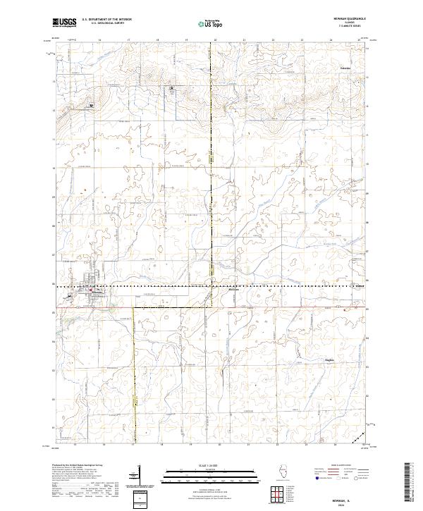
2024 Map of Newman
USGS Topo · Published 2024About this map
The boundary between Douglas Co and Edgar Co bisects this landscape of organized prairie agriculture and winding watercourses. The town of Newman serves as a primary hub in the west, anchored by the Newman Cem near its southern edge, while the smaller settlements of Hume and Palermo sit further east and north. The land is defined by a dense network of township roads and drainage systems, including the Jordan Slough and Brushy Fork, which manage the local water table for the surrounding farmsteads.
Find a feature on this map
49 named features on this map. Tap any name to fly to it.
Don’t see what you’re looking for? This feature index may not catch every label — zoom into the map to look around manually.
Map Details
Editions of this 2024 Newman Map
This is the sole edition of this map. No revisions or reprints were ever made.
Other maps of this area

1936 · Oakland
USGS Topo · 1:48,000

1942 · Oakland
USGS Topo · 1:62,500

1946 · Kansas
USGS Topo · 1:62,500

1949 · Kansas
USGS Topo · 1:62,500

1953 · Indianapolis
USGS Topo · 1:250,000

1956 · Indianapolis
USGS Topo · 1:250,000

1956 · Newman
USGS Topo · 1:62,500

1956 · Villa Grove
USGS Topo · 1:62,500

1957 · Indianapolis
USGS Topo · 1:250,000

1958 · Decatur
USGS Topo · 1:250,000