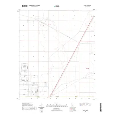
2020 Map of Newman
USGS Topo · Published 2020About this map
Newman sits at the southern edge of this West Texas borderlands survey, where the desert landscape meets the New Mexico-Texas state line. The map captures a transition between the established residential patterns of northern El Paso and the more open terrain to the north. A dense network of local streets such as El Paseo Dr, Indian Ruins Rd, and Broadmoor Dr reveals the expansion of neighborhood footprints in this arid corridor.
Find a feature on this map
40 named features on this map. Tap any name to fly to it.
Don’t see what you’re looking for? This feature index may not catch every label — zoom into the map to look around manually.
Map Details
Editions of this 2020 Newman Map
This is the sole edition of this map. No revisions or reprints were ever made.
Other maps of this area

1896 · El Paso
USGS Topo · 1:125,000

1908 · El Paso
USGS Topo · 1:125,000

1939 · Heuco Tanks
USGS Topo · 1:62,500

1940 · Heuco Tanks
USGS Topo · 1:62,500

1940 · Newman
USGS Topo · 1:62,500

1941 · Desert
USGS Topo · 1:62,500

1942 · Fort Bliss
USGS Topo · 1:62,500

1943 · Desert
USGS Topo · 1:62,500

1943 · Newman
USGS Topo · 1:62,500

1944 · Heuco Tanks
USGS Topo · 1:62,500