
1965 Map of Newnan South
USGS Topo · Published 1966About this map
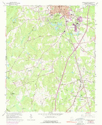
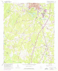
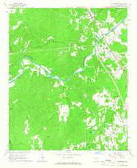
Newnan serves as the focal point of this mid-1960s study, displaying a transition from the dense urban grid near the Courthouse and the Central of Georgia rail lines to the outlying rural landscapes of Coweta County. The southern expansion of the city is evident through infrastructure like the Newnan Waterworks Lakes and the Sewage Disposal facility, while the industrial character of East Newnan is highlighted by the Pumping Station and water tanks.
Find a feature on this map
91 named features on this map. Tap any name to fly to it.
Don’t see what you’re looking for? This feature index may not catch every label — zoom into the map to look around manually.
Map Details
Editions of this 1965 Newnan South Map
3 editions found
Other maps of this area

1953 · Atlanta
USGS Topo · 1:250,000

1957 · Atlanta
USGS Topo · 1:250,000

1958 · Atlanta
USGS Topo · 1:250,000

1964 · Hogansville
USGS Topo · 1:24,000

1964 · Grantville
USGS Topo · 1:24,000
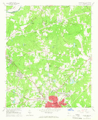
1965 · Newnan North
USGS Topo · 1:24,000
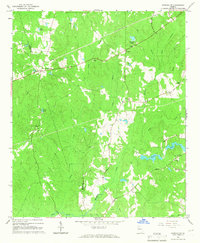
1965 · Newnan SW
USGS Topo · 1:24,000
1965 · Whitesburg
USGS Topo · 1:24,000

1965 · Madras
USGS Topo · 1:24,000

1965 · Sharpsburg
USGS Topo · 1:24,000