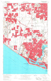
1965 Map of Newport Beach
USGS Topo · Published 1968About this map
Santa Ana River cuts a wide path through the coastal plain, marking the division between the expanding residential grids of Fountain Valley and the institutional grounds of the Fairview State Hospital. This mid-1960s landscape shows the intense urbanization of Orange County, where former agricultural lands are rapidly being replaced by suburban tracts. The coastal edge is dominated by the intricate waterways of Newport Bay, featuring developed residential islands like Lido Isle and Balboa Island near the Entrance Channel.
Find a feature on this map
105 named features on this map. Tap any name to fly to it.
Don’t see what you’re looking for? This feature index may not catch every label — zoom into the map to look around manually.
Map Details
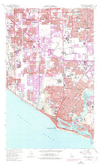
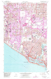
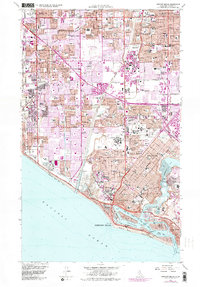
Editions of this 1965 Newport Beach Map
4 editions found
Other maps of this area

1896 · Santa Ana
USGS Topo · 1:62,500

1896 · Anaheim
USGS Topo · 1:62,500

1896 · Las Bolsas
USGS Topo · 1:62,500

1896 · Downey
USGS Topo · 1:62,500

1898 · Anaheim
USGS Topo · 1:62,500

1899 · Downey
USGS Topo · 1:62,500

1901 · Southern California Sheet No. 1
USGS Topo · 1:250,000

1901 · Santa Ana
USGS Topo · 1:62,500

1901 · Anaheim
USGS Topo · 1:62,500

1902 · Downey
USGS Topo · 1:62,500