
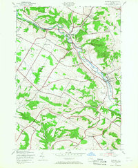
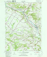
1943 Map of Newport
USGS Topo · Published 1953About this map
West Canada Creek cuts through this rural landscape of the West Canada Valley, following the border between Herkimer and Oneida Counties. The valley bottom is dominated by the industrial and transport corridor of the New York Central railroad, which connects the primary settlements of Poland, Cold Brook, and Newport. The surrounding uplands are defined by a network of named corners and hills, reflecting a late-World-War-II rural economy still tied to local landmarks like Tanner Hill and Bell Hill.
Find a feature on this map
56 named features on this map. Tap any name to fly to it.
Don’t see what you’re looking for? This feature index may not catch every label — zoom into the map to look around manually.
Map Details
Editions of this 1943 Newport Map
3 editions found
Other maps of this area

1897 · Remsen
USGS Topo · 1:62,500

1898 · Utica
USGS Topo · 1:62,500

1900 · Little Falls
USGS Topo · 1:62,500

1900 · Utica
USGS Topo · 1:62,500

1900 · Remsen
USGS Topo · 1:62,500

1900 · Wilmurt
USGS Topo · 1:62,500

1902 · Wilmurt
USGS Topo · 1:62,500

1903 · Little Falls
USGS Topo · 1:62,500

1939 · Little Falls
USGS Topo · 1:62,500

1943 · Utica East
USGS Topo · 1:24,000