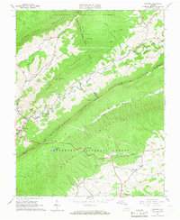
1965 Map of Newport
USGS Topo · Published 1966About this map
Newport serves as a focal point in this 1960s survey of the Virginia highlands, where the Sinking Creek valley carves between steep ridges. The map illustrates a rural landscape where narrow hollows dictate the placement of local institutions like Clover Hollow Ch and Mountain Mission. The terrain is dominated by the parallel rises of Sinking Creek Mountain and Brush Mountain, both part of the Jefferson National Forest. Evidence of small-scale industry and mountain life appears through labels for Mines and a Coal Tipple near Slussers. To the south, Mt Tabor anchors a more open agricultural area. A significant section of the Appalachian Trail winds across the ridges, and a notable Covered Bridge is marked near the Newport Recreation Area, highlighting the intersection of traditional infrastructure and emerging mid-century recreation.
Find a feature on this map
47 named features on this map. Tap any name to fly to it.
Don’t see what you’re looking for? This feature index may not catch every label — zoom into the map to look around manually.
Map Details
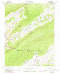
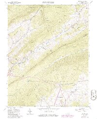
Editions of this 1965 Newport Map
3 editions found
Other maps of this area

1890 · Dublin
USGS Topo · 1:125,000

1890 · Christiansburg
USGS Topo · 1:125,000

1891 · Dublin
USGS Topo · 1:125,000

1923 · Pearisburg
USGS Topo · 1:62,500

1923 · Waiteville
USGS Topo · 1:62,500

1931 · Waiteville
USGS Topo · 1:48,000

1932 · Pearisburg
USGS Topo · 1:48,000

1932 · Blacksburg
USGS Topo · 1:48,000

1937 · Pearisburg
USGS Topo · 1:62,500

1937 · Blacksburg
USGS Topo · 1:62,500