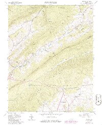
1965 Map of Newport
USGS Topo · Published 1986About this map
Sinking Creek winds through the heart of this Appalachian landscape, defining the valley floor between Johns Creek Mountain and Sinking Creek Mountain. The settlement of Newport serves as a local hub, featuring a Water Tank and nearby Newport Recreation Area. To the south, the northern edge of Blacksburg begins to climb toward Brush Mountain, where the Appalachian Scenic Trail follows the ridgeline. This mid-century survey captures a rural environment deeply rooted in faith and community, marked by numerous small churches such as Slussers Chapel and Mt Tabor Ch. The presence of a Covered Bridge and several old mill sites like Lugar Mill highlights the historic reliance on local waterpower. Much of the high ground is preserved within the Jefferson National Forest, shielding landmarks like Kelly Knob and Wolf Knob from development.
Find a feature on this map
49 named features on this map. Tap any name to fly to it.
Don’t see what you’re looking for? This feature index may not catch every label — zoom into the map to look around manually.
Map Details
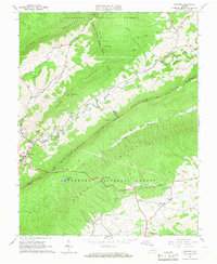
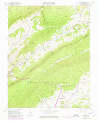
Editions of this 1965 Newport Map
3 editions found
Other maps of this area

1890 · Dublin
USGS Topo · 1:125,000

1890 · Christiansburg
USGS Topo · 1:125,000

1891 · Dublin
USGS Topo · 1:125,000

1923 · Pearisburg
USGS Topo · 1:62,500

1923 · Waiteville
USGS Topo · 1:62,500

1931 · Waiteville
USGS Topo · 1:48,000

1932 · Pearisburg
USGS Topo · 1:48,000

1932 · Blacksburg
USGS Topo · 1:48,000

1937 · Pearisburg
USGS Topo · 1:62,500

1937 · Blacksburg
USGS Topo · 1:62,500