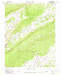
1965 Map of Newport
USGS Topo · Published 1978About this map
The northern edge of Blacksburg and the winding course of Sinking Creek define this 1960s landscape, which transitioned into the late 1970s with several residential and infrastructural updates. The map reveals a region of sharp ridges and deep hollows, notably Clover Hollow and the prominent Sinking Creek Mountain. For those studying local heritage, the map documents numerous rural landmarks such as Clover Hollow Ch, Mt Olivet Ch, and the Covered Bridge near Newport. Significant elevation changes are marked by features like Julian Knob and Keister Hill, while the Appalachian Trail traverses the high ridges through the Jefferson National Forest. This survey captures a moment when traditional rural settlements like Huffman and Slusser existed alongside the expanding footprint of the university town to the south, evidenced by updated purple revisions including a Trailer Park and new road alignments.
Find a feature on this map
46 named features on this map. Tap any name to fly to it.
Don’t see what you’re looking for? This feature index may not catch every label — zoom into the map to look around manually.
Map Details
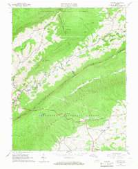
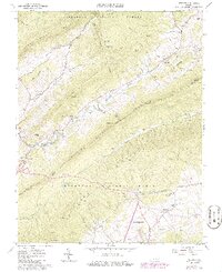
Editions of this 1965 Newport Map
3 editions found
Other maps of this area

1890 · Dublin
USGS Topo · 1:125,000

1890 · Christiansburg
USGS Topo · 1:125,000

1891 · Dublin
USGS Topo · 1:125,000

1923 · Pearisburg
USGS Topo · 1:62,500

1923 · Waiteville
USGS Topo · 1:62,500

1931 · Waiteville
USGS Topo · 1:48,000

1932 · Pearisburg
USGS Topo · 1:48,000

1932 · Blacksburg
USGS Topo · 1:48,000

1937 · Pearisburg
USGS Topo · 1:62,500

1937 · Blacksburg
USGS Topo · 1:62,500