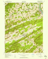
1952 Map of Newport
USGS Topo · Published 1958About this map
New Bloomfield serves as a focal point for this mid-century survey of Perry County, showcasing the institutional presence of the Carson Long Institute and the nearby New Bloomfield Airport. The landscape is defined by the tight, parallel ridges of the Appalachians, including Buffalo Ridge and Mahanoy Ridge, which dictate the placement of rural schools and settlements. Along the Juniata River, the town of Newport emerges as a transportation hub where the Pennsylvania RR tracks run parallel to the water.
Find a feature on this map
43 named features on this map. Tap any name to fly to it.
Don’t see what you’re looking for? This feature index may not catch every label — zoom into the map to look around manually.
Map Details
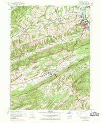
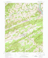
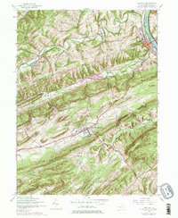
Editions of this 1952 Newport Map
4 editions found
Other maps of this area

1907 · New Bloomfield
USGS Topo · 1:62,500

1907 · Millerstown
USGS Topo · 1:62,500

1925 · Mifflintown
USGS Topo · 1:48,000

1930 · Loysville
USGS Topo · 1:62,500

1933 · Loysville
USGS Topo · 1:62,500

1934 · Mifflintown
USGS Topo · 1:62,500

1937 · Mifflintown
USGS Topo · 1:62,500

1943 · Millerstown
USGS Topo · 1:62,500

1943 · New Bloomfield
USGS Topo · 1:62,500

1950 · Harrisburg
USGS Topo · 1:250,000