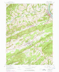
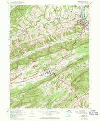
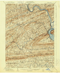
1952 Map of Newport
USGS Topo · Published 1975About this map
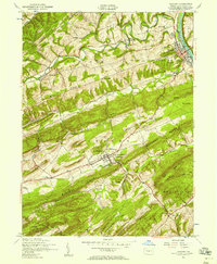
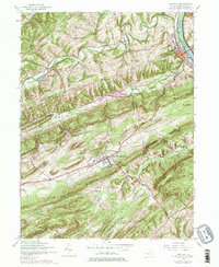
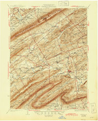
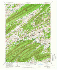
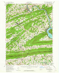
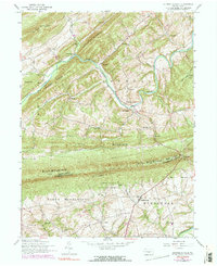
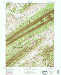
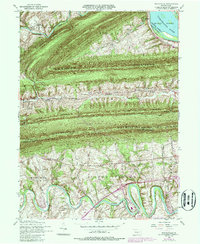
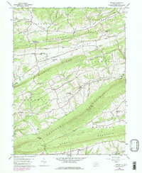
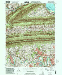
The Juniata River and its parallel ridges define the settlement patterns of Perry County in this 1952 study, photorevised through the early 1970s. The town of Newport sits as a primary transit hub where the Penn Central tracks and the Buffalo Creek confluence meet the river. To the southwest, New Bloomfield serves as a prominent upland center, notably home to the Carson Long Institute and a concentrated grid of local streets. The landscape between these towns is a series of rhythmic geological features, including Limestone Ridge and Mahanoy Ridge, which historically dictated the placement of early industry and education.
Find a feature on this map
52 named features on this map. Tap any name to fly to it.
Don’t see what you’re looking for? This feature index may not catch every label — zoom into the map to look around manually.
Map Details
Editions of this 1952 Newport Map
4 editions found
Historical Maps of Newport Through Time
22 maps found
1907 New Bloomfield
Perry County, PA

1930 Loysville
Perry County, PA
1933 Loysville
Perry County, PA

1943 New Bloomfield
Perry County, PA
1952 Andersonburg
Perry County, PA
1952 Ickesburg
Perry County, PA
1952 Loysville
Perry County, PA
1952 New Bloomfield
Perry County, PA
1952 Newport
Perry County, PA
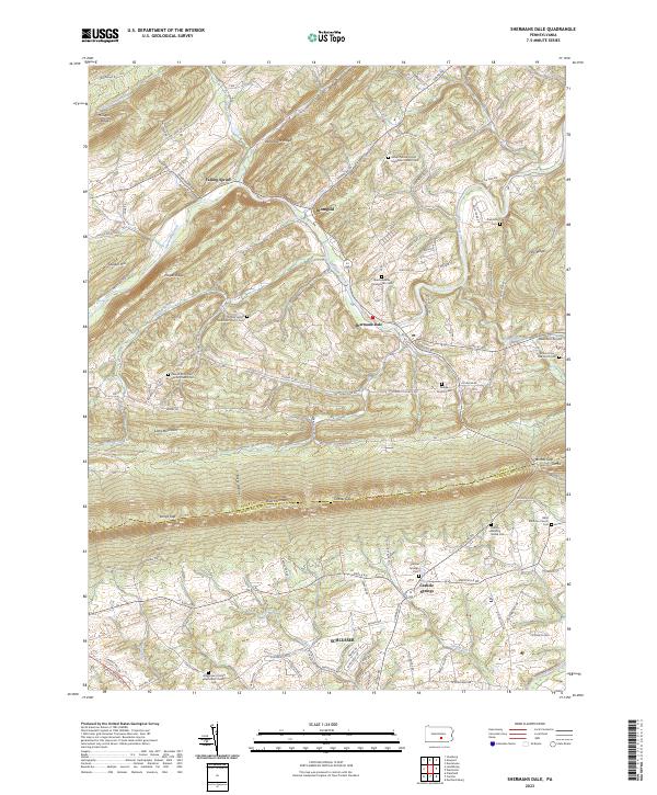
1952 Shermans Dale
Perry County, PA
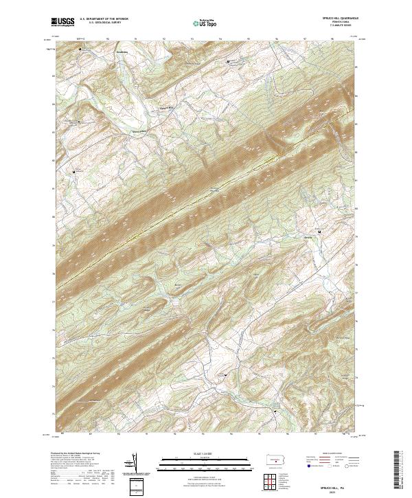
1952 Spruce Hill
Perry County, PA
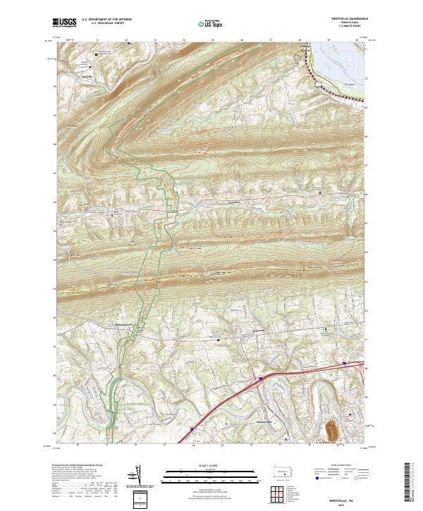
1952 Wertzville
Perry County, PA
1959 Reward
Perry County, PA
1977 Reward
Perry County, PA
1999 Wertzville
Perry County, PA
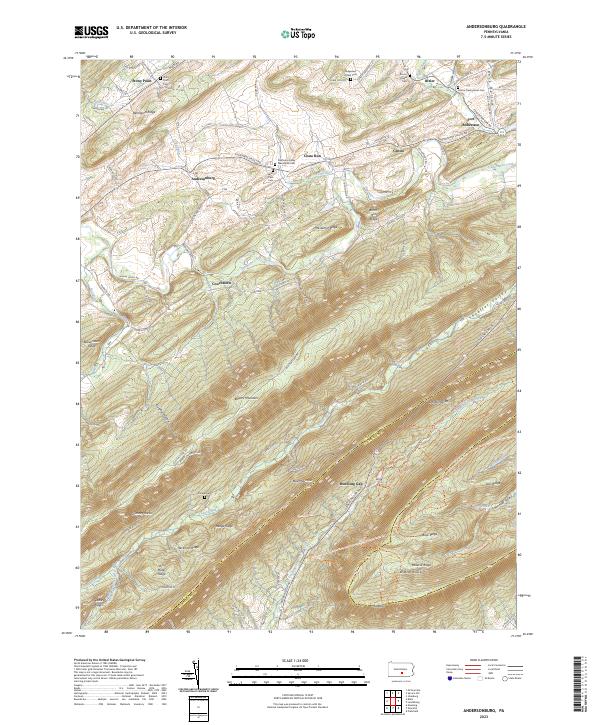
2023 Andersonburg
Perry County, PA
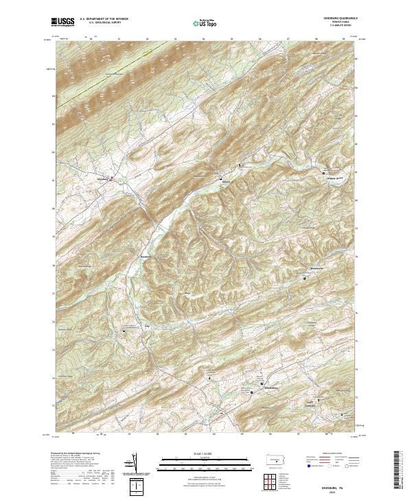
2023 Ickesburg
Perry County, PA
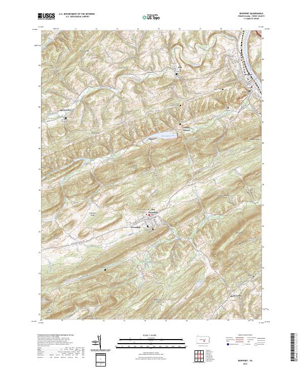
2023 Newport
Perry County, PA
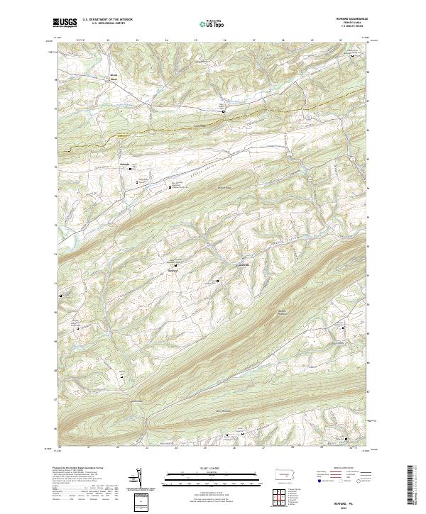
2023 Reward
Perry County, PA
2023 Shermans Dale
Perry County, PA
2023 Spruce Hill
Perry County, PA
2023 Wertzville
Perry County, PA