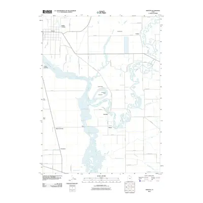
2010 Map of Newton
USGS Topo · Published 2010About this map
Cutler Reservoir dominates this portion of Cache Valley, where the waters of the Bear River, Little Bear River, and Newton Creek converge. The landscape is defined by its complex hydrology, featuring numerous named wetlands like The Slough and Clay Slough, alongside the expansive marshy tract known as The Barrens. The settlement pattern follows a grid of county roads, connecting established communities such as Newton and Amalga with small rail-and-road junctions like Cache Junction and Ballard Junction. This survey captures the rural character of northern Utah, where agricultural land meets the shifting river bends of Horseshoe Bend and The Island. Access to the reservoir is highlighted at Benson Marina, serving the nearby community of Benson and the surrounding riverside hamlets like Riverside and Petersboro.
Find a feature on this map
62 named features on this map. Tap any name to fly to it.
Don’t see what you’re looking for? This feature index may not catch every label — zoom into the map to look around manually.
Map Details
Editions of this 2010 Newton Map
This is the sole edition of this map. No revisions or reprints were ever made.
Other maps of this area

1914 · Logan
USGS Topo · 1:125,000

1916 · Logan
USGS Topo · 1:125,000

1954 · Ogden
USGS Topo · 1:250,000

1954 · Brigham City
USGS Topo · 1:250,000

1958 · Ogden
USGS Topo · 1:250,000

1958 · Brigham City
USGS Topo · 1:250,000

1960 · Ogden
USGS Topo · 1:250,000

1961 · Honeyville
USGS Topo · 1:24,000

1961 · Logan
USGS Topo · 1:24,000

1962 · Brigham City
USGS Topo · 1:250,000