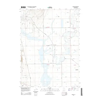
2014 Map of Newton
USGS Topo · Published 2014About this map
Newton and Amalga anchor this 2014 survey of the northwestern Cache Valley, where the hydrological network of northern Utah creates a complex landscape of wetlands and watercourses. The convergence of the Bear River and the Little Bear River feeds into the expansive Cutler Reservoir, a central feature that dominates the topography. This riparian environment is defined by distinct landforms like The Island and Horseshoe Bend, surrounded by a web of seasonal channels including Swift Slough and Hopkins Slough.
Find a feature on this map
58 named features on this map. Tap any name to fly to it.
Don’t see what you’re looking for? This feature index may not catch every label — zoom into the map to look around manually.
Map Details
Editions of this 2014 Newton Map
This is the sole edition of this map. No revisions or reprints were ever made.
Other maps of this area

1914 · Logan
USGS Topo · 1:125,000

1916 · Logan
USGS Topo · 1:125,000

1954 · Ogden
USGS Topo · 1:250,000

1954 · Brigham City
USGS Topo · 1:250,000

1958 · Ogden
USGS Topo · 1:250,000

1958 · Brigham City
USGS Topo · 1:250,000

1960 · Ogden
USGS Topo · 1:250,000

1961 · Honeyville
USGS Topo · 1:24,000

1961 · Logan
USGS Topo · 1:24,000

1962 · Brigham City
USGS Topo · 1:250,000