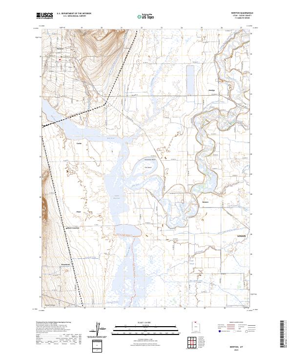
2023 Map of Newton
USGS Topo · Published 2023About this map
Newton and Amalga anchor this portion of the northern Cache Valley, where a sophisticated network of irrigation and river management defines the landscape. The Bear River meanders through the center of the quadrangle, creating prominent landforms like Horseshoe Bend and The Island before feeding into the Cutler Reservoir. This water system is further articulated by the Amalga Branch West Cache Canal and Newton Branch West Cache Canal, illustrating the engineering required to support agriculture in this high-desert environment.
Find a feature on this map
58 named features on this map. Tap any name to fly to it.
Don’t see what you’re looking for? This feature index may not catch every label — zoom into the map to look around manually.
Map Details
Editions of this 2023 Newton Map
This is the sole edition of this map. No revisions or reprints were ever made.
Other maps of this area

1914 · Logan
USGS Topo · 1:125,000

1916 · Logan
USGS Topo · 1:125,000

1954 · Ogden
USGS Topo · 1:250,000

1954 · Brigham City
USGS Topo · 1:250,000

1958 · Ogden
USGS Topo · 1:250,000

1958 · Brigham City
USGS Topo · 1:250,000

1960 · Ogden
USGS Topo · 1:250,000

1961 · Honeyville
USGS Topo · 1:24,000

1961 · Logan
USGS Topo · 1:24,000

1962 · Brigham City
USGS Topo · 1:250,000