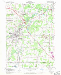
1959 Map of Newton Falls
USGS Topo · Published 1971About this map
The Mahoning River and its numerous tributaries, including West Branch and Duck Creek, define the landscape of this Northeast Ohio region during the late 1950s. The village of Newton Falls serves as a central hub, where the confluence of rivers meets an intensive network of transportation infrastructure. Major rail lines like the Erie-Lackawanna, Baltimore and Ohio, and Penn Central converge here, alongside the newer path of the Ohio Turnpike at Interchange 14. To the west, the expansive U S Military Reservation Ravenna Arsenal occupies a significant portion of the territory, while industrial activity is evidenced by the large Slag Pile near the Lordstown boundary. Smaller rural settlements such as Pricetown, Braceville, and Phalanx Station are documented alongside family-named landmarks like Wilderson Cem and Baldwin Corners. In the southern reaches, the Lake Milton Spillway marks the edge of the reservoir near Craig Beach.
Find a feature on this map
46 named features on this map. Tap any name to fly to it.
Don’t see what you’re looking for? This feature index may not catch every label — zoom into the map to look around manually.
Map Details
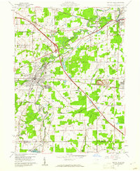
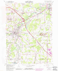
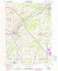
Editions of this 1959 Newton Falls Map
4 editions found
Other maps of this area

1905 · Bristolville
USGS Topo · 1:62,500

1905 · Garrettsville
USGS Topo · 1:62,500

1906 · Ravenna
USGS Topo · 1:62,500

1907 · Bristolville
USGS Topo · 1:62,500

1907 · Garrettsville
USGS Topo · 1:62,500

1908 · Warren
USGS Topo · 1:62,500

1908 · Ravenna
USGS Topo · 1:62,500

1950 · Cleveland
USGS Topo · 1:250,000

1952 · Lake Milton
USGS Topo · 1:24,000

1952 · Canfield
USGS Topo · 1:24,000