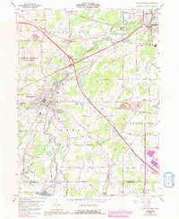
1959 Map of Newton Falls
USGS Topo · Published 1992About this map
Newton Falls serves as the focal point of this mid-century survey, situated at the confluence of the Mahoning River and its West Branch. The landscape reveals a complex network of industrial and military infrastructure, most notably the eastern edge of the U S Military Reservation Ravenna Arsenal. Transport corridors including the Conrail and Baltimore And Ohio railroads intersect the river valleys, while the Ohio Turnpike cuts across the northern terrain near Braceville.
Find a feature on this map
52 named features on this map. Tap any name to fly to it.
Don’t see what you’re looking for? This feature index may not catch every label — zoom into the map to look around manually.
Map Details
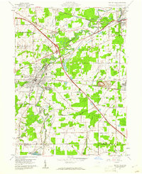
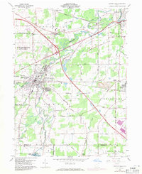
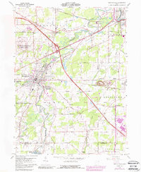
Editions of this 1959 Newton Falls Map
4 editions found
Other maps of this area

1905 · Bristolville
USGS Topo · 1:62,500

1905 · Garrettsville
USGS Topo · 1:62,500

1906 · Ravenna
USGS Topo · 1:62,500

1907 · Bristolville
USGS Topo · 1:62,500

1907 · Garrettsville
USGS Topo · 1:62,500

1908 · Warren
USGS Topo · 1:62,500

1908 · Ravenna
USGS Topo · 1:62,500

1950 · Cleveland
USGS Topo · 1:250,000

1952 · Lake Milton
USGS Topo · 1:24,000

1952 · Canfield
USGS Topo · 1:24,000