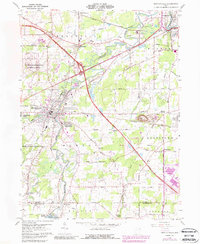
1959 Map of Newton Falls
USGS Topo · Published 1988About this map
The Mahoning River winds through this Trumbull County landscape, serving as a corridor for heavy industry and transportation. The river's path connects established settlements like Newton Falls and Leavittsburg with the massive infrastructure of the US Military Reservation Ravenna Arsenal on the western edge. This mid-century survey reveals an economy built on rail and road, where the Ohio Turnpike cuts across the terrain near the sprawling industrial footprint of a Slag Pile and multiple quarries in Lordstown.
Find a feature on this map
62 named features on this map. Tap any name to fly to it.
Don’t see what you’re looking for? This feature index may not catch every label — zoom into the map to look around manually.
Map Details
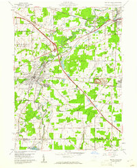
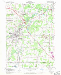
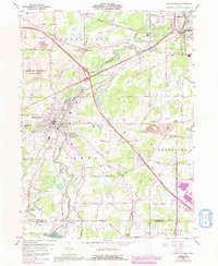
Editions of this 1959 Newton Falls Map
4 editions found
Other maps of this area

1905 · Bristolville
USGS Topo · 1:62,500

1905 · Garrettsville
USGS Topo · 1:62,500

1906 · Ravenna
USGS Topo · 1:62,500

1907 · Bristolville
USGS Topo · 1:62,500

1907 · Garrettsville
USGS Topo · 1:62,500

1908 · Warren
USGS Topo · 1:62,500

1908 · Ravenna
USGS Topo · 1:62,500

1950 · Cleveland
USGS Topo · 1:250,000

1952 · Lake Milton
USGS Topo · 1:24,000

1952 · Canfield
USGS Topo · 1:24,000