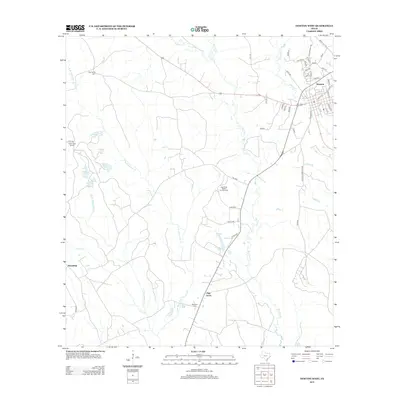
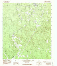
2012 Map of Newton West
USGS Topo · Published 2012About this map
The town of Newton serves as the focal point in this East Texas landscape, where the street grid includes local thoroughfares like Gravel Hill Rd and Old Hemphill Rd. This 2012 survey illustrates a region defined by its dense network of waterways, most notably Big Cow Cr, which meanders southward toward Walker Lake. The presence of the East Texas Baptist Encampment and the Clare Creek School site suggests a long-standing community structure centered around rural education and religious gathering places.
Find a feature on this map
58 named features on this map. Tap any name to fly to it.
Don’t see what you’re looking for? This feature index may not catch every label — zoom into the map to look around manually.
Map Details
Editions of this 2012 Newton West Map
This is the sole edition of this map. No revisions or reprints were ever made.
Other maps of this area

1935 · Wilson Lake
USGS Topo · 1:31,680

1947 · Wilson Lake
USGS Topo · 1:31,680

1952 · Lake Charles
USGS Topo · 1:250,000

1954 · Lake Charles
USGS Topo · 1:250,000

1955 · Roganville
USGS Topo · 1:62,500

1958 · Kirbyville
USGS Topo · 1:62,500
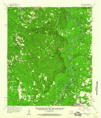
1959 · Merryville
USGS Topo · 1:62,500
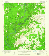
1959 · Bon Wier
USGS Topo · 1:62,500
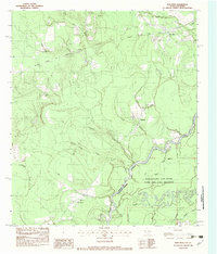
1982 · Bon Wier
USGS Topo · 1:24,000
1984 · Shankleville
USGS Topo · 1:24,000