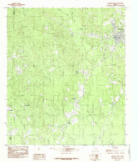
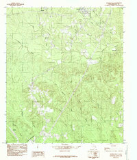
1984 Map of Newton West
USGS Topo · Published 1985About this map
The town of Newton anchors the northeastern corner of this East Texas survey, where the piney woods landscape is defined by the winding course of Big Cow Creek. In the mid-1970s and early 1980s, this area of the Gulf Coastal Plain maintained a predominantly rural character, punctuated by small community centers like Friendship and Pine Grove. These local nodes are clearly identified by their foundational institutions, including Friendship Ch, Friendship Cem, and Pine Grove Ch, which serve as vital landmarks for genealogists and local historians tracking family roots in the region.
Find a feature on this map
21 named features on this map. Tap any name to fly to it.
Don’t see what you’re looking for? This feature index may not catch every label — zoom into the map to look around manually.
Map Details
Editions of this 1984 Newton West Map
This is the sole edition of this map. No revisions or reprints were ever made.
Other maps of this area

1935 · Wilson Lake
USGS Topo · 1:31,680

1947 · Wilson Lake
USGS Topo · 1:31,680

1952 · Lake Charles
USGS Topo · 1:250,000

1954 · Lake Charles
USGS Topo · 1:250,000

1955 · Roganville
USGS Topo · 1:62,500

1958 · Kirbyville
USGS Topo · 1:62,500
1959 · Merryville
USGS Topo · 1:62,500
1959 · Bon Wier
USGS Topo · 1:62,500
1982 · Bon Wier
USGS Topo · 1:24,000
1984 · Shankleville
USGS Topo · 1:24,000