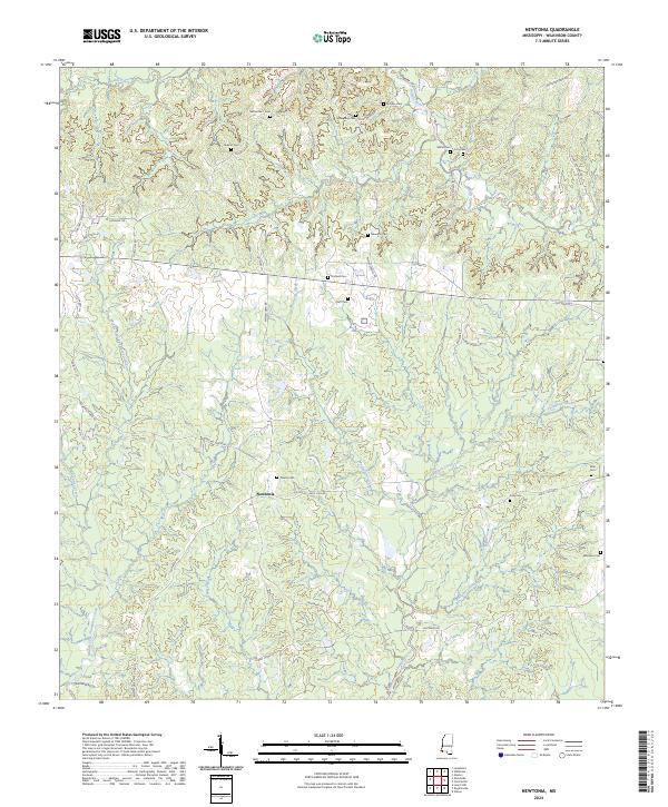
2024 Map of Newtonia
USGS Topo · Published 2024About this map
The Newtonia settlement sits at the center of this rural Mississippi landscape, where the headwaters of numerous creeks carve through the terrain south of the Buffalo River. This area is characterized by a high density of small family burial grounds, such as Phares Cem, Hatfield Cem, and Netterville 1 Cem, which serve as vital markers for genealogists tracing local family histories. The road network, including the Judydahl Plantation Rd and Whitestone State Line Rd, reflects a history of land divisions and agricultural estates. Waterways like Jackson Creek and Thompson Creek define the drainage patterns that shaped the early settlement of Wilkinson County. The map provides a detailed view of the rural infrastructure, including many named roads and property boundaries like t1n r1w that have persisted through generations of local land management.
Find a feature on this map
52 named features on this map. Tap any name to fly to it.
Don’t see what you’re looking for? This feature index may not catch every label — zoom into the map to look around manually.
Map Details
Editions of this 2024 Newtonia Map
This is the sole edition of this map. No revisions or reprints were ever made.
Other maps of this area

1906 · Bayou Sara
USGS Topo · 1:125,000

1936 · Woodville
USGS Topo · 1:62,500

1939 · St. Francisville
USGS Topo · 1:62,500

1941 · Norwood
USGS Topo · 1:31,680

1941 · Lost Creek
USGS Topo · 1:31,680

1945 · Norwood
USGS Topo · 1:31,680

1945 · Lost Creek
USGS Topo · 1:31,680

1953 · Natchez
USGS Topo · 1:250,000

1954 · Baton Rouge
USGS Topo · 1:250,000

1956 · Natchez
USGS Topo · 1:250,000