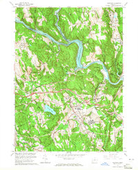
1963 Map of Newtown
USGS Topo · Published 1965About this map
Lake Lillinonah and the Housatonic River dominate this Fairfield County landscape, carving a deep valley that separates Southbury from Newtown. The mid-1960s geography reveals a region of institutional importance, featuring the sprawling grounds of the Fairfield State Hospital and the Southbury Training Sch near South Britain. The tracks of the New York New Haven and Hartford railroad cut through the center of the sheet, serving the communities of Hawleyville and Sandy Hook.
Find a feature on this map
63 named features on this map. Tap any name to fly to it.
Don’t see what you’re looking for? This feature index may not catch every label — zoom into the map to look around manually.
Map Details
Editions of this 1963 Newtown Map
4 editions found
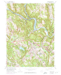
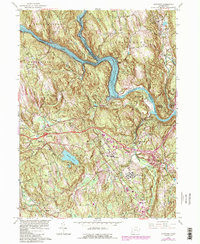
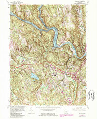
Other maps of this area

1889 · Derby
USGS Topo · 1:62,500

1891 · Derby
USGS Topo · 1:62,500

1892 · Danbury
USGS Topo · 1:62,500

1892 · New Milford
USGS Topo · 1:62,500

1893 · Waterbury
USGS Topo · 1:62,500

1893 · New Milford
USGS Topo · 1:62,500

1893 · Derby
USGS Topo · 1:62,500

1904 · New Milford
USGS Topo · 1:62,500

1904 · Waterbury
USGS Topo · 1:62,500

1904 · Litchfield
USGS Topo · 1:125,000