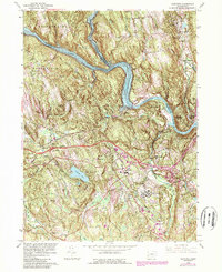
1963 Map of Newtown
USGS Topo · Published 1985About this map
The Housatonic River snakes through this landscape, widened into Lake Lillinonah behind unseen downstream dams. This 1963 survey shows the central Connecticut topography at a time of suburban expansion and industrial transition, with Interstate 84 cutting through the center of the sheet near Hawleyville. The local economy is reflected in several sand and gravel pits and the presence of the Conrail line. Of particular interest to local historians is the large complex of the Fairfield State Hospital and the clustered residential developments like Russian Village and Oakdale Manor. The map also captures several traditional village centers, including Newtown and Sandy Hook, alongside family-named landmarks like Taunton Hill and Pierce Hollow Cem, providing a detailed look at the region's mid-century footprint before later development altered these rural corridors.
Find a feature on this map
63 named features on this map. Tap any name to fly to it.
Don’t see what you’re looking for? This feature index may not catch every label — zoom into the map to look around manually.
Map Details
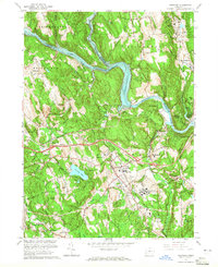
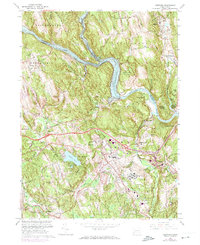
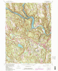
Editions of this 1963 Newtown Map
4 editions found
Other maps of this area

1889 · Derby
USGS Topo · 1:62,500

1891 · Derby
USGS Topo · 1:62,500

1892 · Danbury
USGS Topo · 1:62,500

1892 · New Milford
USGS Topo · 1:62,500

1893 · Waterbury
USGS Topo · 1:62,500

1893 · New Milford
USGS Topo · 1:62,500

1893 · Derby
USGS Topo · 1:62,500

1904 · New Milford
USGS Topo · 1:62,500

1904 · Waterbury
USGS Topo · 1:62,500

1904 · Litchfield
USGS Topo · 1:125,000