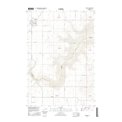
2017 Map of Nezperce
USGS Topo · Published 2017About this map
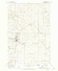
Nezperce anchors the northern high plains of Lewis County, where the plateau begins its steep descent toward the canyon of Lawyer Cr. This landscape is characterized by a grid of rural roads—such as Cemetery Rd and Snyder Rd—that service the surrounding agricultural tracts. The town site includes the Nez Perce Municipal Airport and is bordered by the headwaters of Long Hollow Cr, illustrating the relationship between the upland settlement and the drainage systems that carve the Idaho prairie. To the south, the terrain becomes increasingly complex near the border with Idaho County. The map captures the small community of Dryden and the prominence of Big Butte, alongside topographic features like Syron Draw and Red Rock Cr that define the local relief.
Find a feature on this map
30 named features on this map. Tap any name to fly to it.
Don’t see what you’re looking for? This feature index may not catch every label — zoom into the map to look around manually.
Map Details
Editions of this 2017 Nezperce Map
This is the sole edition of this map. No revisions or reprints were ever made.
Other maps of this area

1924 · Kamiah
USGS Topo · 1:125,000

1955 · Pullman
USGS Topo · 1:250,000

1958 · Pullman
USGS Topo · 1:250,000
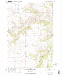
1967 · Nezperce SE
USGS Topo · 1:24,000

1967 · Mohler
USGS Topo · 1:24,000
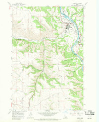
1967 · Kamiah
USGS Topo · 1:24,000
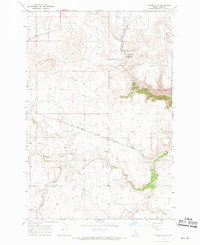
1967 · Nezperce SW
USGS Topo · 1:24,000

1967 · Sixmile Creek
USGS Topo · 1:24,000

1967 · Cottonwood NE
USGS Topo · 1:24,000
1967 · Cottonwood
USGS Topo · 1:24,000