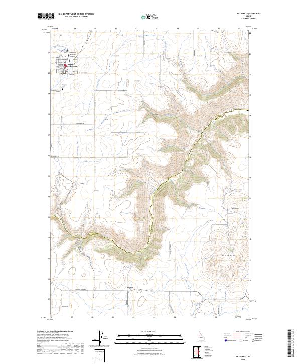
2024 Map of Nezperce
USGS Topo · Published 2024About this map
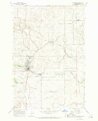
The Lewis County Courthouse anchors the settlement of Nezperce, where a tidy grid of streets like Pine St and Maple St gives way to the expansive agricultural plateaus of northern Idaho. This modern topographic study reveals a landscape defined by the deep incisions of Lawyer Creek and its tributaries, which carve through the high prairie. To the west of the town center, the Nezperce Cem and the Nez Perce Municipal Airport mark the community's edge before the terrain drops sharply into the winding Lawyer Canyon Rd corridor. Southward, the small locality of Dryden sits near the crossing of Lawyer Creek, while the prominent rise of Big Butte stands as a significant landmark in the southeast. The map illustrates a network of rural roads, including Old Hwy 7 and Yellow Bull Rd, that connect isolated farmsteads across the undulating coulees and draws such as Syron Draw.
Find a feature on this map
47 named features on this map. Tap any name to fly to it.
Don’t see what you’re looking for? This feature index may not catch every label — zoom into the map to look around manually.
Map Details
Editions of this 2024 Nezperce Map
This is the sole edition of this map. No revisions or reprints were ever made.
Other maps of this area

1924 · Kamiah
USGS Topo · 1:125,000

1955 · Pullman
USGS Topo · 1:250,000

1958 · Pullman
USGS Topo · 1:250,000
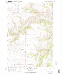
1967 · Nezperce SE
USGS Topo · 1:24,000

1967 · Mohler
USGS Topo · 1:24,000
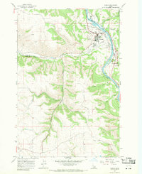
1967 · Kamiah
USGS Topo · 1:24,000
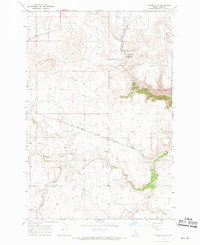
1967 · Nezperce SW
USGS Topo · 1:24,000

1967 · Sixmile Creek
USGS Topo · 1:24,000

1967 · Cottonwood NE
USGS Topo · 1:24,000
1967 · Cottonwood
USGS Topo · 1:24,000