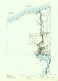
1900 Map of Niagara Falls
USGS Topo · Published 1963About this map
Niagara Falls and its surrounding gorge serve as the focal point of this turn-of-the-century reconnaissance, illustrating the dense infrastructure of the international border. The landscape is defined by a complex web of competing transit lines, including the Michigan Central R. R. and the Youngstown and Lewiston Electric R. R., which trace the steep banks of the Niagara River. The presence of multiple rail bridges, such as the Suspension Bridge, highlights the era's role in cross-border commerce and tourism.
Find a feature on this map
45 named features on this map. Tap any name to fly to it.
Don’t see what you’re looking for? This feature index may not catch every label — zoom into the map to look around manually.
Map Details
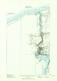
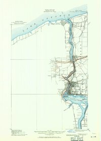
Editions of this 1900 Niagara Falls Map
4 editions found
Other maps of this area

1894 · Buffalo
USGS Topo · 1:62,500

1894 · Niagara Falls
USGS Topo · 1:62,500

1894 · Wilson
USGS Topo · 1:62,500

1896 · Niagara Falls
USGS Topo · 1:62,500

1897 · Tonawanda
USGS Topo · 1:62,500

1899 · Niagara
USGS Topo · 1:125,000

1900 · Wilson
USGS Topo · 1:62,500

1900 · Tonawanda
USGS Topo · 1:62,500

1900 · Niagara Falls
USGS Topo · 1:62,500

1901 · Buffalo
USGS Topo · 1:62,500