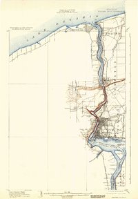
1901 Map of Niagara Falls
USGS Topo · Published 1933About this map
The Niagara River defines this international border landscape at the dawn of the 20th century, serving as both a powerful natural obstacle and a burgeoning industrial corridor. Military history anchors the northern reaches where Fort Niagara and Fort Missassauga guard the entrance to Lake Ontario. Moving south, the map details the intense concentration of rail infrastructure near the cataracts, including the Niagara Falls and Suspension Bridge R. R. and the complex trackage of the N. Y. C. & H. R. R. R. near the famous Suspension Bridge. The rugged topography of the gorge is evident between Lewiston and the falls, marked by the Whirlpool and Foster Flats. Islands like Goat Id. and Navy Id. sit amidst the heavy currents, while settlements such as Youngstown and Queenston overlook the water, illustrating the era's reliance on the river for defense, transport, and early hydroelectric potential via the Niagara Construction Company R. R.
Find a feature on this map
46 named features on this map. Tap any name to fly to it.
Don’t see what you’re looking for? This feature index may not catch every label — zoom into the map to look around manually.
Map Details
Editions of this 1901 Niagara Falls Map
11 editions found

1901 edition
15 x 22.1 inches
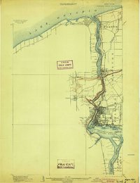
1904 edition
16.4 x 21.3 inches
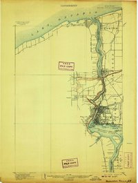
1907 edition
16.5 x 21.9 inches
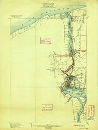
1909 edition
16.5 x 21.9 inches
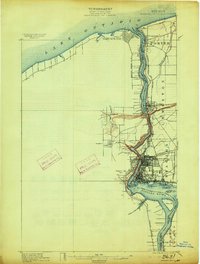
1913 edition
16.5 x 21.9 inches
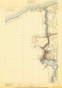
1921 edition
15.2 x 21.6 inches
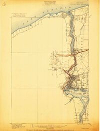
1921 edition
16.6 x 21.6 inches
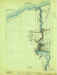
1929 edition
16.5 x 21.8 inches
1933 edition
15.2 x 21.9 inches
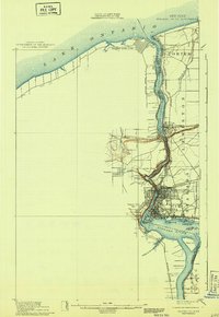
1943 edition
15.3 x 22.2 inches
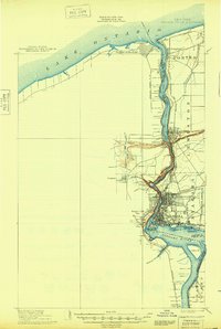
1948 edition
15.2 x 22.6 inches
Other maps of this area

1894 · Buffalo
USGS Topo · 1:62,500

1894 · Niagara Falls
USGS Topo · 1:62,500

1894 · Wilson
USGS Topo · 1:62,500

1896 · Niagara Falls
USGS Topo · 1:62,500

1897 · Tonawanda
USGS Topo · 1:62,500

1899 · Niagara
USGS Topo · 1:125,000

1900 · Wilson
USGS Topo · 1:62,500

1900 · Tonawanda
USGS Topo · 1:62,500

1900 · Niagara Falls
USGS Topo · 1:62,500

1901 · Buffalo
USGS Topo · 1:62,500