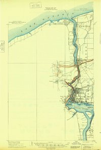
1901 Map of Niagara Falls
USGS Topo · Published 1948About this map
Niagara River serves as the international boundary between the United States and Dominion of Canada on this survey, based on work from the late 19th century. The map details the complex industrial and transit infrastructure flanking the falls, including the Suspension Bridge and numerous rail lines like the Michigan Central R. R. and the Niagara Construction Company R. R. Military history is prominent at the river's mouth on Lake Ontario, where Fort Niagara stands opposite Fort Massassauga near Niagara-on-the-Lake. The topography captures the sheer descent of the gorge, highlighting landmarks such as the Whirlpool, Goat Id., and the Brock Monument. Upstream, the river splits around Grand Island and Navy Id., illustrating the natural landscape before the height of 20th-century hydroelectric diversion.
Find a feature on this map
44 named features on this map. Tap any name to fly to it.
Don’t see what you’re looking for? This feature index may not catch every label — zoom into the map to look around manually.
Map Details
Editions of this 1901 Niagara Falls Map
11 editions found

1901 edition
15 x 22.1 inches
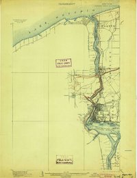
1904 edition
16.4 x 21.3 inches
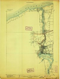
1907 edition
16.5 x 21.9 inches
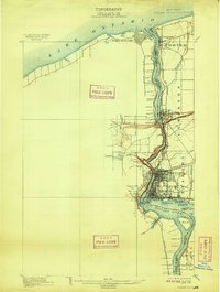
1909 edition
16.5 x 21.9 inches
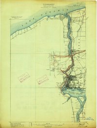
1913 edition
16.5 x 21.9 inches
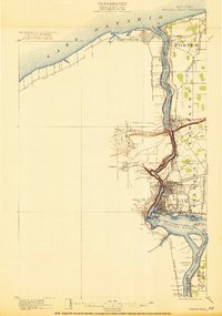
1921 edition
15.2 x 21.6 inches
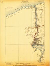
1921 edition
16.6 x 21.6 inches
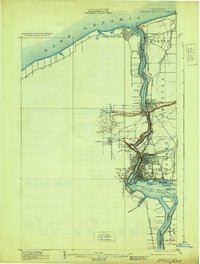
1929 edition
16.5 x 21.8 inches
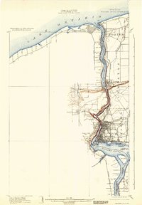
1933 edition
15.2 x 21.9 inches
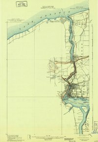
1943 edition
15.3 x 22.2 inches
1948 edition
15.2 x 22.6 inches
Other maps of this area

1894 · Buffalo
USGS Topo · 1:62,500

1894 · Niagara Falls
USGS Topo · 1:62,500

1894 · Wilson
USGS Topo · 1:62,500

1896 · Niagara Falls
USGS Topo · 1:62,500

1897 · Tonawanda
USGS Topo · 1:62,500

1899 · Niagara
USGS Topo · 1:125,000

1900 · Wilson
USGS Topo · 1:62,500

1900 · Tonawanda
USGS Topo · 1:62,500

1900 · Niagara Falls
USGS Topo · 1:62,500

1901 · Buffalo
USGS Topo · 1:62,500