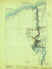
1901 Map of Niagara Falls
USGS Topo · Published 1929About this map
The international border between the United States and Canada follows the deep channel of the Niagara River, where turn-of-the-century engineering and military history meet. On the American side, the industrial and transport hub of Niagara Falls is dense with rail lines, including the Erie R. R. and the Central And Hudson River R. R. crossing at Suspension Bridge. The map captures the river's descent through the Whirlpool toward Lake Ontario, anchored by strategic defensive sites like Fort Niagara and Fort Massassauga at the river's mouth. Interior land patterns show a transition from the urban density of the falls to the agricultural townships of Porter and Lewiston. Detailed island topographies, such as Goat Id. and the expansive Grand Island, illustrate how the river's split shaped the local geography and the placement of the international Boundary Line.
Find a feature on this map
56 named features on this map. Tap any name to fly to it.
Don’t see what you’re looking for? This feature index may not catch every label — zoom into the map to look around manually.
Map Details
Editions of this 1901 Niagara Falls Map
11 editions found

1901 edition
15 x 22.1 inches
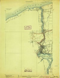
1904 edition
16.4 x 21.3 inches
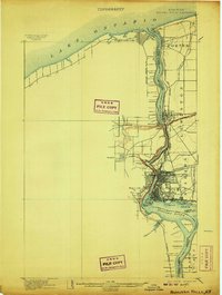
1907 edition
16.5 x 21.9 inches
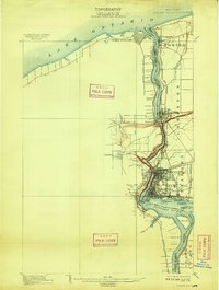
1909 edition
16.5 x 21.9 inches
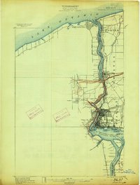
1913 edition
16.5 x 21.9 inches
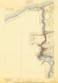
1921 edition
15.2 x 21.6 inches
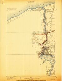
1921 edition
16.6 x 21.6 inches
1929 edition
16.5 x 21.8 inches
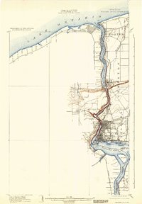
1933 edition
15.2 x 21.9 inches
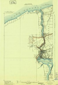
1943 edition
15.3 x 22.2 inches
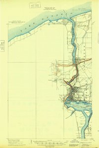
1948 edition
15.2 x 22.6 inches
Other maps of this area

1894 · Buffalo
USGS Topo · 1:62,500

1894 · Niagara Falls
USGS Topo · 1:62,500

1894 · Wilson
USGS Topo · 1:62,500

1896 · Niagara Falls
USGS Topo · 1:62,500

1897 · Tonawanda
USGS Topo · 1:62,500

1899 · Niagara
USGS Topo · 1:125,000

1900 · Wilson
USGS Topo · 1:62,500

1900 · Tonawanda
USGS Topo · 1:62,500

1900 · Niagara Falls
USGS Topo · 1:62,500

1901 · Buffalo
USGS Topo · 1:62,500