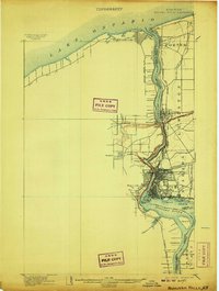
1901 Map of Niagara Falls
USGS Topo · Published 1907About this map
The Niagara River serves as the dominant geographic and political spine of this survey, dividing the United States and Canada during a period of intense industrial and transit expansion. At the northern terminus, the fortifications of Fort Niagara and Fort Massassauga guard the entrance to Lake Ontario, anchoring the settlements of Youngstown and Niagara-on-the-Lake. The map illustrates the complex hydrography around the falls, including Goat Id., Grass Id., and the treacherous Whirlpool downstream.
Find a feature on this map
46 named features on this map. Tap any name to fly to it.
Don’t see what you’re looking for? This feature index may not catch every label — zoom into the map to look around manually.
Map Details
Editions of this 1901 Niagara Falls Map
11 editions found

1901 edition
15 x 22.1 inches
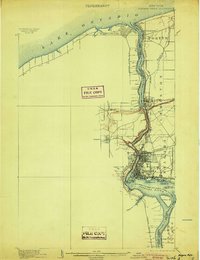
1904 edition
16.4 x 21.3 inches
1907 edition
16.5 x 21.9 inches
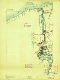
1909 edition
16.5 x 21.9 inches
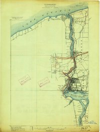
1913 edition
16.5 x 21.9 inches
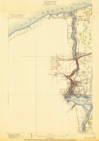
1921 edition
15.2 x 21.6 inches
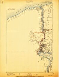
1921 edition
16.6 x 21.6 inches
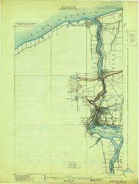
1929 edition
16.5 x 21.8 inches
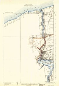
1933 edition
15.2 x 21.9 inches
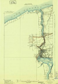
1943 edition
15.3 x 22.2 inches
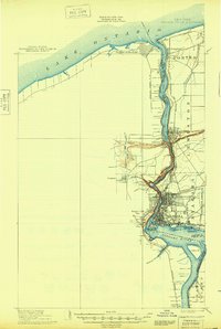
1948 edition
15.2 x 22.6 inches
Other maps of this area

1894 · Buffalo
USGS Topo · 1:62,500

1894 · Niagara Falls
USGS Topo · 1:62,500

1894 · Wilson
USGS Topo · 1:62,500

1896 · Niagara Falls
USGS Topo · 1:62,500

1897 · Tonawanda
USGS Topo · 1:62,500

1899 · Niagara
USGS Topo · 1:125,000

1900 · Wilson
USGS Topo · 1:62,500

1900 · Tonawanda
USGS Topo · 1:62,500

1900 · Niagara Falls
USGS Topo · 1:62,500

1901 · Buffalo
USGS Topo · 1:62,500